Transport Functions
Road
Multimodal
Hub Profile
Place type
Populated place
Region
Texas
Population
2,534
Time zone
America/Chicago
Elevation
142 m
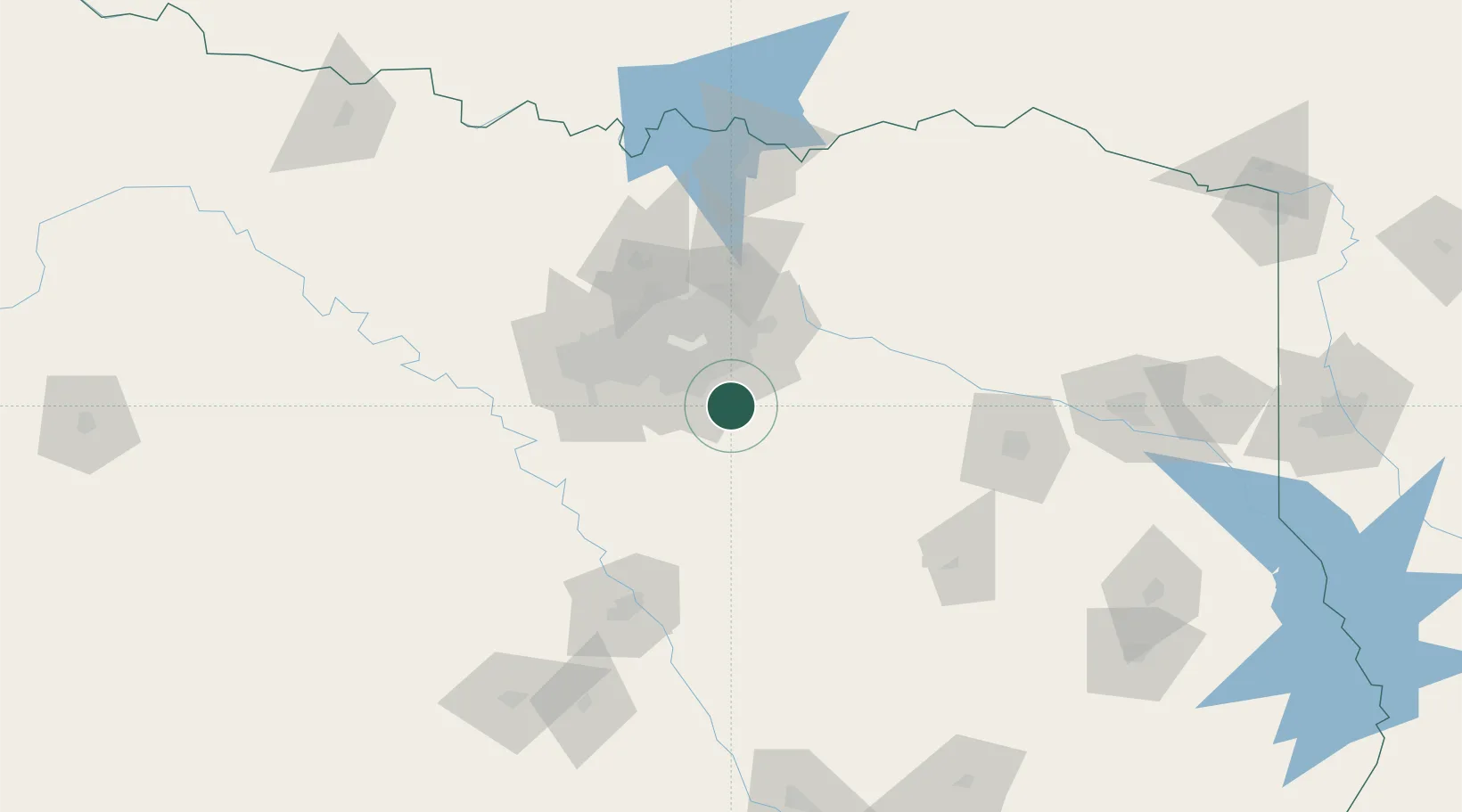
Location
Nearby Logistics Neighbours
Cities
- 1Wilmer3 km
- 2Red Oak13 km
- 3De Soto18 km
- 4Duncanville27 km
- 5Cedar Hill27 km
Airports
Trade Zones
- 1FTZ No. 113 Ellis County42 km
- 2FTZ No. 269 Athens82 km
- 3FTZ No. 168 Dallas Fort Worth84 km
- 4FTZ No. 196 Fort Worth90 km
- 5FTZ No. 246 Waco122 km
DatabookThe Record of Consolidated Knowledge
United States beyond logistics?