UN/LOCODE hub · United States
USCK9

Cockrell Hill

32.7333°, -96.8833°
4,316
Population
2
Transport functions

Transport Functions

Port
Multimodal
UN/LOCODE

Hub Profile

Place type
Urban district
GeoNames
Region
Texas
GeoNames
Population
4,316
GeoNames
Time zone
America/Chicago
GeoNames
Elevation
195 m
GeoNames

Location

Location of USCK9
Natural Earth 10m (public domain) · Texas · USCK9 · 32.73, -96.88GoogleOSMYandex

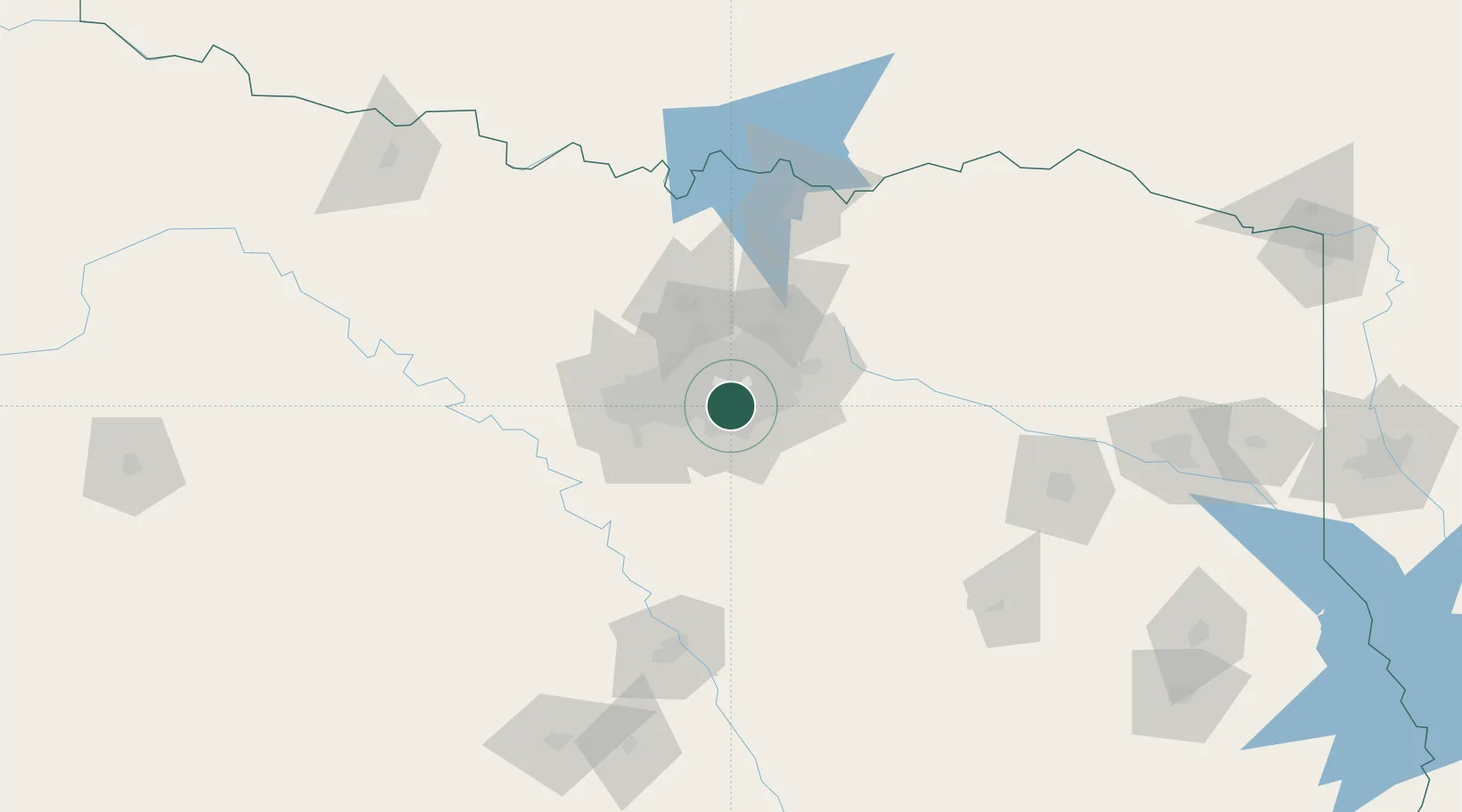
Nearby Logistics Neighbours

Cities
  1. 1Dallas6 km
  2. 2Duncanville7 km
  3. 3University Park15 km
  4. 4Highland, Dallas15 km
  5. 5De Soto17 km
Nearest neighbours — logibook spatial index (haversine) over the source coordinates
Ports
  1. 1Deer Park363 km
  2. 2Houston365 km
  3. 3Pasadena371 km
  4. 4Baytown378 km
  5. 5Beaumont397 km
Nearest neighbours — logibook spatial index (haversine) over the source coordinates
Airports
  1. 1Dallas Love Field13 km
  2. 2Dallas Fort Worth International Airport23 km
  3. 3Mid-Way Regional Airport31 km
  4. 4Fort Worth Meacham International Airport46 km
  5. 5Perot Field/Fort Worth Alliance Airport50 km
Nearest neighbours — logibook spatial index (haversine) over the source coordinates
Trade Zones
  1. 1FTZ No. 113 Ellis County50 km
  2. 2FTZ No. 168 Dallas Fort Worth60 km
  3. 3FTZ No. 196 Fort Worth65 km
  4. 4FTZ No. 269 Athens111 km
  5. 5FTZ No. 039 Dallas Fort Worth112 km
Nearest neighbours — logibook spatial index (haversine) over the source coordinates
DatabookThe Record of Consolidated Knowledge
United States beyond logistics?
Browse databook

All Sources

LocationsUN/LOCODE
UN/LOCODE — free
LocationsGeoNames
CC BY 4.0
Portsthe NGA World Port Index
Public domain (US gov)
AirportsOurAirports
Public domain
Trade Zonesthe World Bank SEZ database
CC BY 4.0
Trade ZonesOpen Zone Map
CC BY
← United States locations