UN/LOCODE hub · United States
USDV3

Duncanville

32.6703°, -96.9033°
39,826
Population
2
Transport functions

Transport Functions

Rail
Road
UN/LOCODE

Hub Profile

Place type
Populated place
GeoNames
Region
Texas
GeoNames
Population
39,826
GeoNames
Time zone
America/Chicago
GeoNames
Elevation
221 m
GeoNames
Logistics facilities
1
UN/LOCODE

Location

Location of USDV3
Natural Earth 10m (public domain) · Texas · USDV3 · 32.67, -96.90GoogleOSMYandex

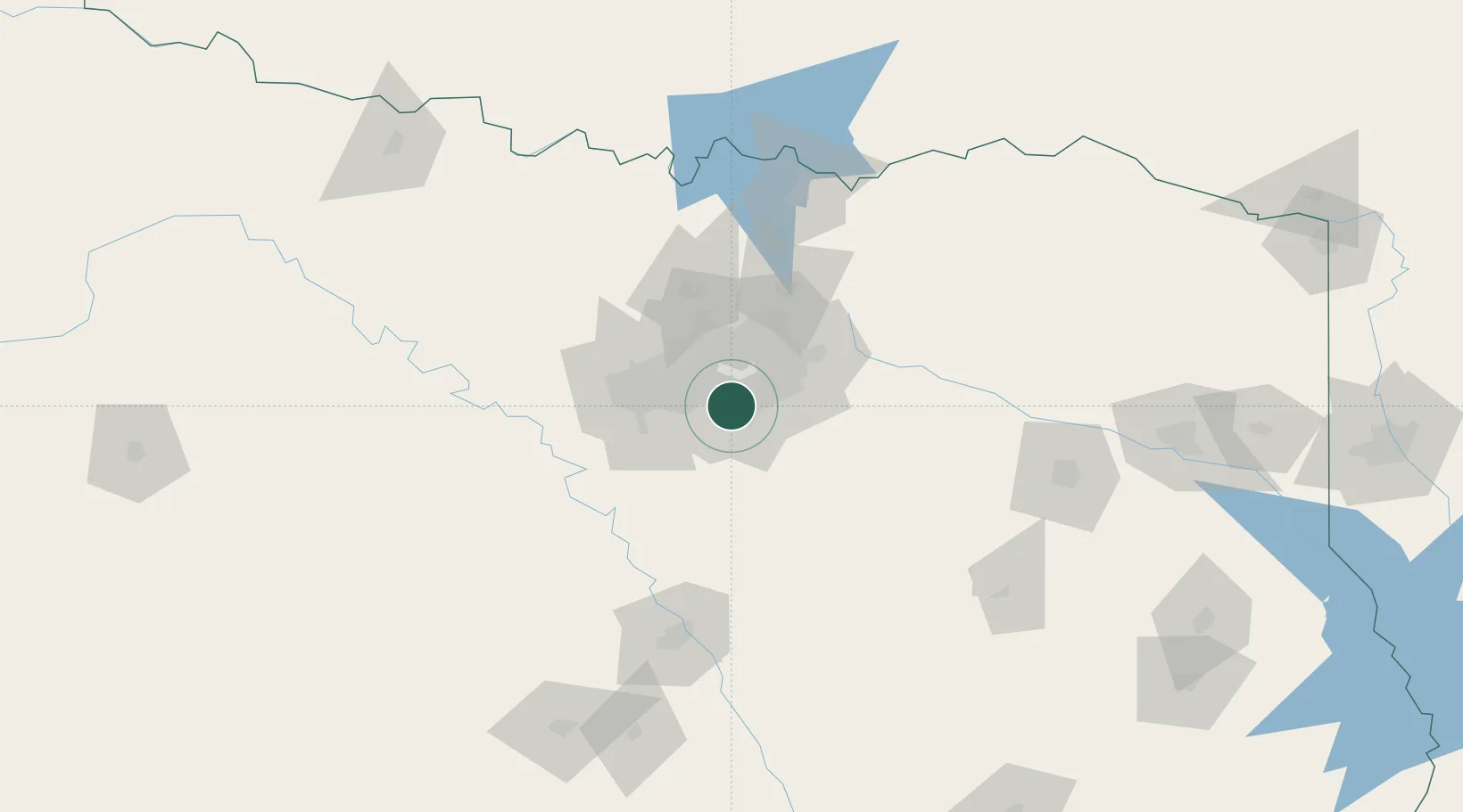
Nearby Logistics Neighbours

Cities
  1. 1Cockrell Hill7 km
  2. 2Cedar Hill11 km
  3. 3De Soto11 km
  4. 4Dallas13 km
  5. 5Red Oak20 km
Nearest neighbours — logibook spatial index (haversine) over the source coordinates
Ports
  1. 1Deer Park357 km
  2. 2Houston359 km
  3. 3Pasadena366 km
  4. 4Baytown373 km
  5. 5Beaumont393 km
Nearest neighbours — logibook spatial index (haversine) over the source coordinates
Airports
  1. 1Dallas Love Field20 km
  2. 2Mid-Way Regional Airport24 km
  3. 3Dallas Fort Worth International Airport28 km
  4. 4Fort Worth Meacham International Airport46 km
  5. 5NAS Fort Worth JRB / Carswell Field52 km
Nearest neighbours — logibook spatial index (haversine) over the source coordinates
Trade Zones
  1. 1FTZ No. 113 Ellis County42 km
  2. 2FTZ No. 168 Dallas Fort Worth59 km
  3. 3FTZ No. 196 Fort Worth64 km
  4. 4FTZ No. 269 Athens109 km
  5. 5FTZ No. 039 Dallas Fort Worth111 km
Nearest neighbours — logibook spatial index (haversine) over the source coordinates
DatabookThe Record of Consolidated Knowledge
United States beyond logistics?
Browse databook

All Sources

LocationsUN/LOCODE
UN/LOCODE — free
LocationsGeoNames
CC BY 4.0
Portsthe NGA World Port Index
Public domain (US gov)
AirportsOurAirports
Public domain
Trade Zonesthe World Bank SEZ database
CC BY 4.0
Trade ZonesOpen Zone Map
CC BY
← United States locations