UN/LOCODE hub · United States
USYYR

Stone Ridge, Ulster

41.8500°, -74.1333°
2
Transport functions

Transport Functions

Road
Multimodal
UN/LOCODE

Hub Profile

Region
NY
GeoNames

Location

Location of USYYR
Natural Earth 10m (public domain) · NY · USYYR · 41.85, -74.13GoogleOSMYandex

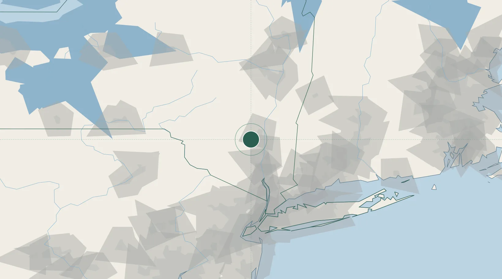
Nearby Logistics Neighbours

Cities
  1. 1Tillson7 km
  2. 2Bloomington9 km
  3. 3Hurley11 km
  4. 4Port Ewen14 km
  5. 5New Paltz14 km
Nearest neighbours — logibook spatial index (haversine) over the source coordinates
Ports
  1. 1Kingston17 km
  2. 2Poughkeepsie23 km
  3. 3Newburgh41 km
  4. 4Catskill47 km
  5. 5Albany94 km
Nearest neighbours — logibook spatial index (haversine) over the source coordinates
Airports
  1. 1Dutchess County Airport32 km
  2. 2New York Stewart International Airport39 km
  3. 3Danbury Municipal Airport76 km
  4. 4Westchester County Airport94 km
  5. 5Albany International Airport104 km
Nearest neighbours — logibook spatial index (haversine) over the source coordinates
Trade Zones
  1. 1FTZ No. 037 Orange County83 km
  2. 2FTZ No. 121 Albany100 km
  3. 3FTZ No. 076 Bridgeport109 km
  4. 4FTZ No. 162 New Haven117 km
  5. 5FTZ No. 071 Windsor Locks125 km
Nearest neighbours — logibook spatial index (haversine) over the source coordinates
DatabookThe Record of Consolidated Knowledge
United States beyond logistics?
Browse databook

All Sources

LocationsUN/LOCODE
UN/LOCODE — free
Portsthe NGA World Port Index
Public domain (US gov)
AirportsOurAirports
Public domain
Trade Zonesthe World Bank SEZ database
CC BY 4.0
Trade ZonesOpen Zone Map
CC BY
← United States locations