UN/LOCODE hub · United States
USHUZ

Hurley

41.9333°, -74.0667°
3,458
Population
2
Transport functions

Transport Functions

Road
Multimodal
UN/LOCODE

Hub Profile

Place type
Populated place
GeoNames
Region
New York
GeoNames
Population
3,458
GeoNames
Time zone
America/New_York
GeoNames
Elevation
60 m
GeoNames

Location

Location of USHUZ
Natural Earth 10m (public domain) · New York · USHUZ · 41.93, -74.07GoogleOSMYandex

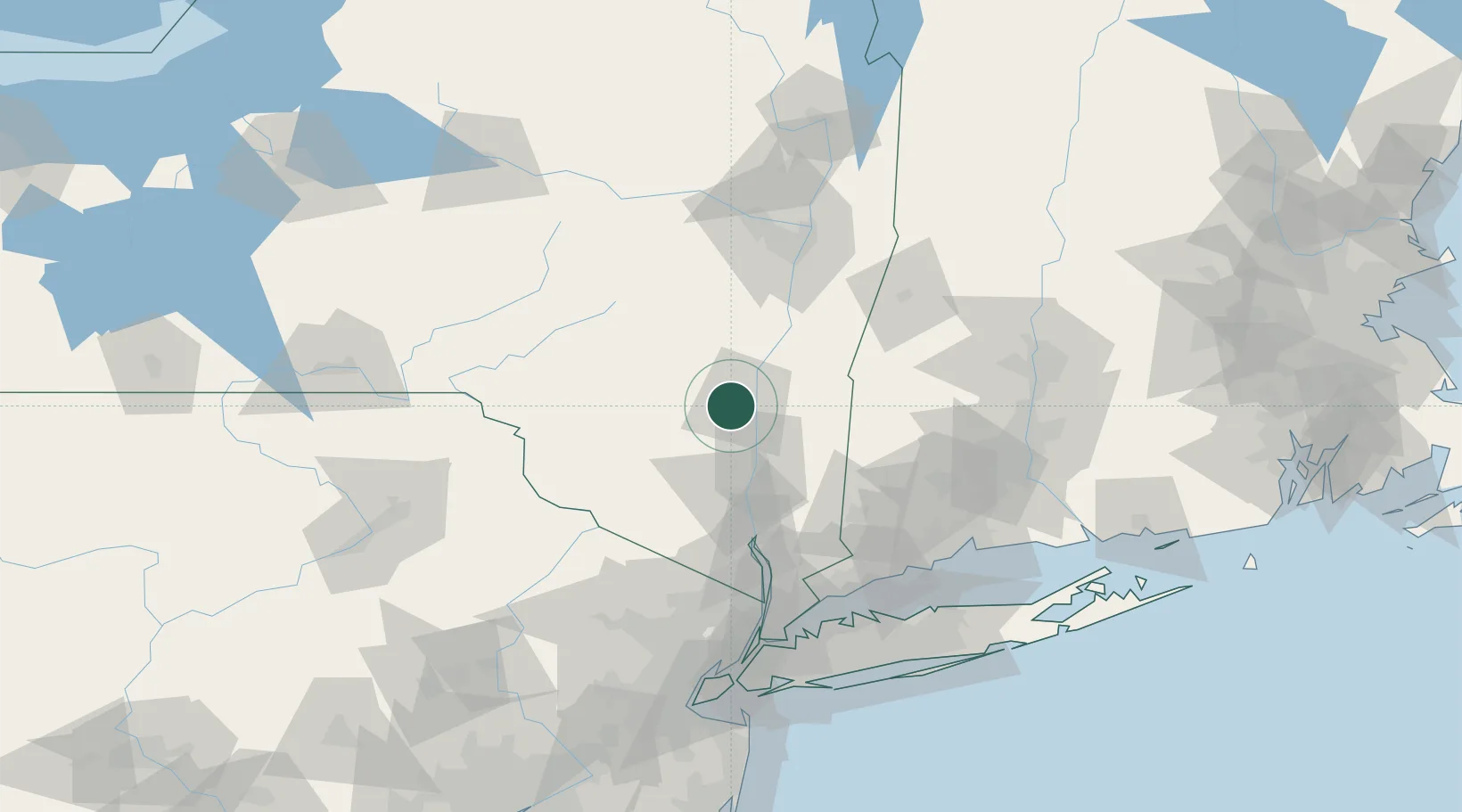
Nearby Logistics Neighbours

Cities
  1. 1West Hurley6 km
  2. 2Port Ewen8 km
  3. 3Lake Katerine8 km
  4. 4Bloomington8 km
  5. 5Lake Katrine9 km
Nearest neighbours — logibook spatial index (haversine) over the source coordinates
Ports
  1. 1Kingston8 km
  2. 2Poughkeepsie28 km
  3. 3Catskill36 km
  4. 4Newburgh49 km
  5. 5Albany84 km
Nearest neighbours — logibook spatial index (haversine) over the source coordinates
Airports
  1. 1Dutchess County Airport37 km
  2. 2New York Stewart International Airport48 km
  3. 3Danbury Municipal Airport79 km
  4. 4Albany International Airport93 km
  5. 5Westchester County Airport101 km
Nearest neighbours — logibook spatial index (haversine) over the source coordinates
Trade Zones
  1. 1FTZ No. 121 Albany89 km
  2. 2FTZ No. 037 Orange County93 km
  3. 3FTZ No. 076 Bridgeport111 km
  4. 4FTZ No. 201 Holyoke117 km
  5. 5FTZ No. 162 New Haven118 km
Nearest neighbours — logibook spatial index (haversine) over the source coordinates
DatabookThe Record of Consolidated Knowledge
United States beyond logistics?
Browse databook

All Sources

LocationsUN/LOCODE
UN/LOCODE — free
LocationsGeoNames
CC BY 4.0
Portsthe NGA World Port Index
Public domain (US gov)
AirportsOurAirports
Public domain
Trade Zonesthe World Bank SEZ database
CC BY 4.0
Trade ZonesOpen Zone Map
CC BY
← United States locations