Transport Functions
Rail
Road
Hub Profile
Place type
Populated place
Region
New York
Time zone
America/New_York
Elevation
56 m
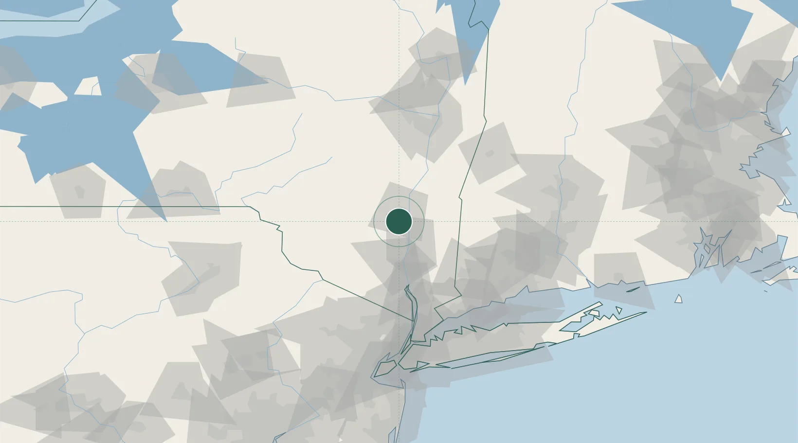
Location
Nearby Logistics Neighbours
Cities
- 1Port Ewen6 km
- 2Tillson6 km
- 3Hurley8 km
- 4Stone Ridge, Ulster9 km
- 5Esopus9 km
Ports
- 1Kingston9 km
- 2Poughkeepsie20 km
- 3Newburgh41 km
- 4Catskill42 km
- 5Albany90 km
Airports
Trade Zones
- 1FTZ No. 037 Orange County91 km
- 2FTZ No. 121 Albany96 km
- 3FTZ No. 076 Bridgeport104 km
- 4FTZ No. 162 New Haven111 km
- 5FTZ No. 071 Windsor Locks116 km
DatabookThe Record of Consolidated Knowledge
United States beyond logistics?