UN/LOCODE hub · United States
USNEZ
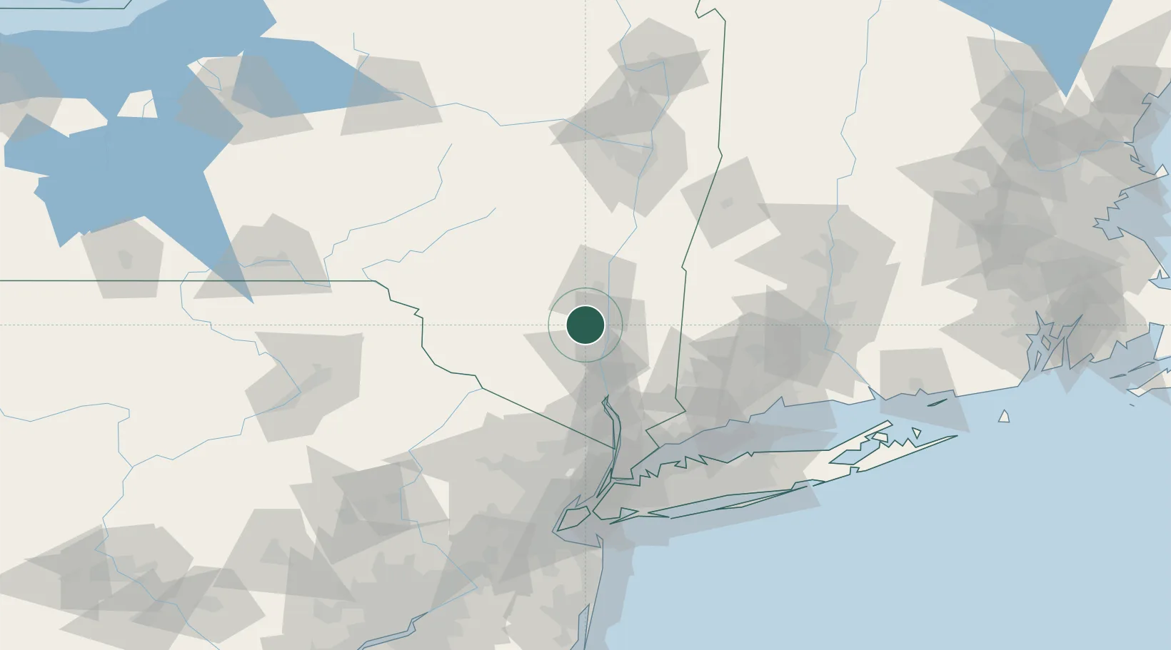
New Paltz
41.7333°, -74.0833°
7,070
Population
3
Transport functions
Transport Functions
Rail
Road
Multimodal
Hub Profile
Place type
Populated place
Region
New York
Population
7,070
Time zone
America/New_York
Elevation
73 m
Location
Nearby Logistics Neighbours
Cities
- 1Gardiner9 km
- 2Tillson9 km
- 3Stone Ridge, Ulster14 km
- 4Esopus14 km
- 5Bloomington15 km
Ports
- 1Poughkeepsie12 km
- 2Kingston24 km
- 3Newburgh27 km
- 4Catskill57 km
- 5Port Chester89 km
Airports
Trade Zones
- 1FTZ No. 037 Orange County79 km
- 2FTZ No. 076 Bridgeport97 km
- 3FTZ No. 162 New Haven107 km
- 4FTZ No. 121 Albany111 km
- 5FTZ No. 001 New York City114 km
DatabookThe Record of Consolidated Knowledge
United States beyond logistics?