UN/LOCODE hub · United States
USTL8

Tillson

41.8167°, -74.0667°
1,586
Population
2
Transport functions

Transport Functions

Port
Multimodal
UN/LOCODE

Hub Profile

Place type
Populated place
GeoNames
Region
New York
GeoNames
Population
1,586
GeoNames
Time zone
America/New_York
GeoNames
Elevation
71 m
GeoNames

Location

Location of USTL8
Natural Earth 10m (public domain) · New York · USTL8 · 41.82, -74.07GoogleOSMYandex

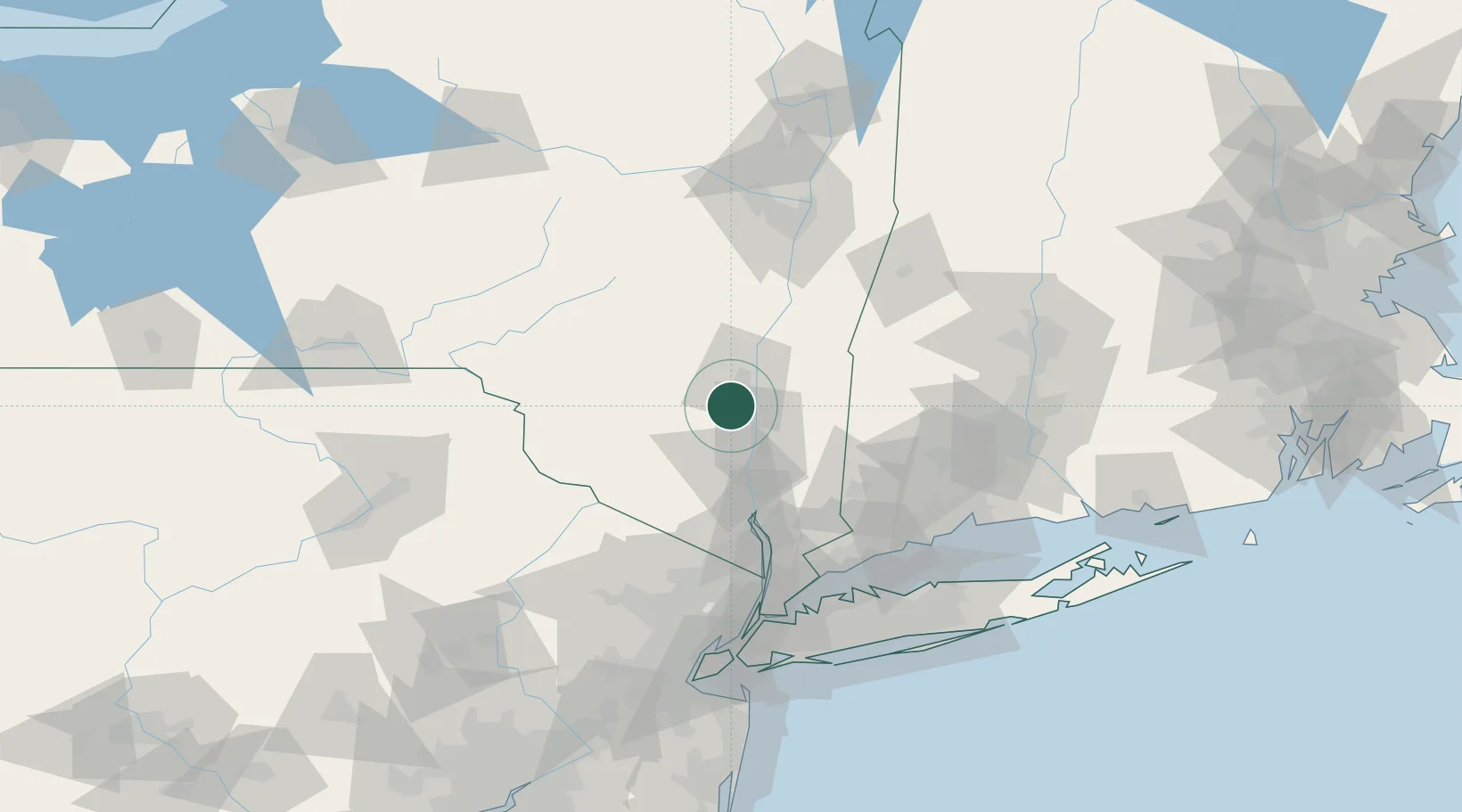
Nearby Logistics Neighbours

Cities
  1. 1Bloomington6 km
  2. 2Stone Ridge, Ulster7 km
  3. 3New Paltz9 km
  4. 4Esopus10 km
  5. 5Port Ewen12 km
Nearest neighbours — logibook spatial index (haversine) over the source coordinates
Ports
  1. 1Kingston15 km
  2. 2Poughkeepsie16 km
  3. 3Newburgh36 km
  4. 4Catskill48 km
  5. 5Albany96 km
Nearest neighbours — logibook spatial index (haversine) over the source coordinates
Airports
  1. 1Dutchess County Airport26 km
  2. 2New York Stewart International Airport35 km
  3. 3Danbury Municipal Airport69 km
  4. 4Westchester County Airport89 km
  5. 5Albany International Airport106 km
Nearest neighbours — logibook spatial index (haversine) over the source coordinates
Trade Zones
  1. 1FTZ No. 037 Orange County85 km
  2. 2FTZ No. 076 Bridgeport102 km
  3. 3FTZ No. 121 Albany102 km
  4. 4FTZ No. 162 New Haven111 km
  5. 5FTZ No. 071 Windsor Locks119 km
Nearest neighbours — logibook spatial index (haversine) over the source coordinates
DatabookThe Record of Consolidated Knowledge
United States beyond logistics?
Browse databook

All Sources

LocationsUN/LOCODE
UN/LOCODE — free
LocationsGeoNames
CC BY 4.0
Portsthe NGA World Port Index
Public domain (US gov)
AirportsOurAirports
Public domain
Trade Zonesthe World Bank SEZ database
CC BY 4.0
Trade ZonesOpen Zone Map
CC BY
← United States locations