UN/LOCODE hub · United States
USPE2
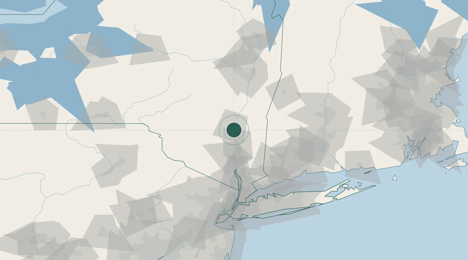
Port Ewen
41.9000°, -73.9833°
3,546
Population
4
Transport functions
Transport Functions
Port
Rail
Road
Multimodal
Hub Profile
Place type
Populated place
Region
New York
Population
3,546
Time zone
America/New_York
Elevation
56 m
Location
Nearby Logistics Neighbours
Cities
- 1Bloomington6 km
- 2Rhinebeck7 km
- 3Hurley8 km
- 4Lake Katrine9 km
- 5Lake Katerine9 km
Ports
- 1Kingston4 km
- 2Poughkeepsie22 km
- 3Catskill37 km
- 4Newburgh45 km
- 5Albany86 km
Airports
Trade Zones
- 1FTZ No. 121 Albany92 km
- 2FTZ No. 037 Orange County96 km
- 3FTZ No. 076 Bridgeport104 km
- 4FTZ No. 162 New Haven110 km
- 5FTZ No. 201 Holyoke111 km
DatabookThe Record of Consolidated Knowledge
United States beyond logistics?