Transport Functions
Multimodal
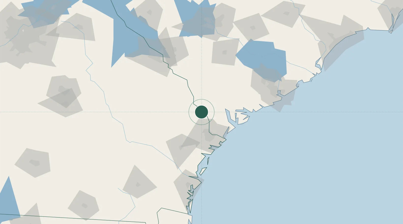
Hub Profile
Place type
Populated place
Region
Georgia
Time zone
America/New_York
Elevation
21 m
Location
Nearby Logistics Neighbours
Cities
- 1Brooklet38 km
- 2Savannah43 km
- 3Early Branch43 km
- 4Varnville45 km
- 5Yemassee45 km
Ports
- 1Savannah48 km
- 2Port Royal56 km
- 3Beaufort57 km
- 4Darien125 km
- 5Charleston131 km
Airports
Trade Zones
- 1FTZ No. 104 Savannah46 km
- 2FTZ No. 021 Dorchester County84 km
- 3FTZ No. 144 Brunswick150 km
- 4FTZ No. 127 West Columbia168 km
- 5FTZ No. 064 Jacksonville247 km
DatabookThe Record of Consolidated Knowledge
United States beyond logistics?