UN/LOCODE hub · United States
USSAV
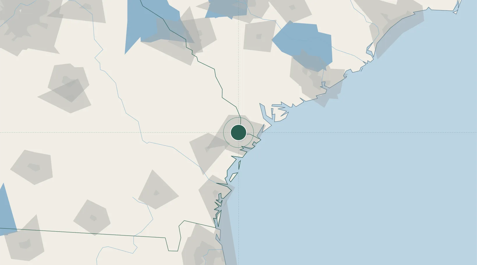
Savannah
32.1104°, -81.1648°
147,780
Population
2
Transport functions
2
Container terminals
Transport Functions
Port
Airport
Hub Profile
Place type
Provincial seat
Region
Georgia
Population
147,780
Time zone
America/New_York
Elevation
6 m
Logistics facilities
94
Container terminals
2
Location
Nearby Logistics Neighbours
Cities
- 1Ellabell30 km
- 2Tybee Island34 km
- 3Lanier35 km
- 4Clyo43 km
- 5Pembroke43 km
Ports
- 1Port Royal54 km
- 2Beaufort59 km
- 3Darien87 km
- 4Brunswick111 km
- 5Charleston139 km
Airports
Trade Zones
- 1FTZ No. 104 Savannah7 km
- 2FTZ No. 144 Brunswick111 km
- 3FTZ No. 021 Dorchester County115 km
- 4FTZ No. 127 West Columbia209 km
- 5FTZ No. 064 Jacksonville211 km
DatabookThe Record of Consolidated Knowledge
United States beyond logistics?