UN/LOCODE hub · United States
USZH5
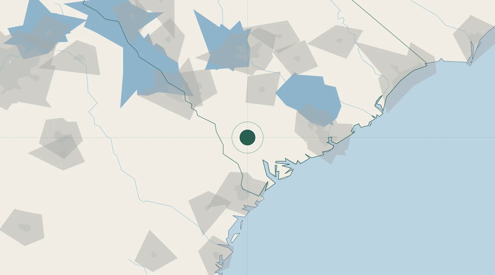
Varnville
32.8500°, -81.0667°
2,067
Population
1
Transport functions
Transport Functions
Multimodal
Hub Profile
Place type
Populated place
Region
South Carolina
Population
2,067
Time zone
America/New_York
Elevation
33 m
Location
Nearby Logistics Neighbours
Cities
- 1Early Branch17 km
- 2Allendale27 km
- 3Yemassee28 km
- 4Ruffin30 km
- 5Clyo45 km
Ports
- 1Beaufort60 km
- 2Port Royal65 km
- 3Savannah85 km
- 4Charleston108 km
- 5Darien169 km
Airports
Trade Zones
- 1FTZ No. 021 Dorchester County41 km
- 2FTZ No. 104 Savannah84 km
- 3FTZ No. 127 West Columbia127 km
- 4FTZ No. 144 Brunswick193 km
- 5FTZ No. 038 Spartanburg County252 km
DatabookThe Record of Consolidated Knowledge
United States beyond logistics?