Transport Functions
Road
Multimodal
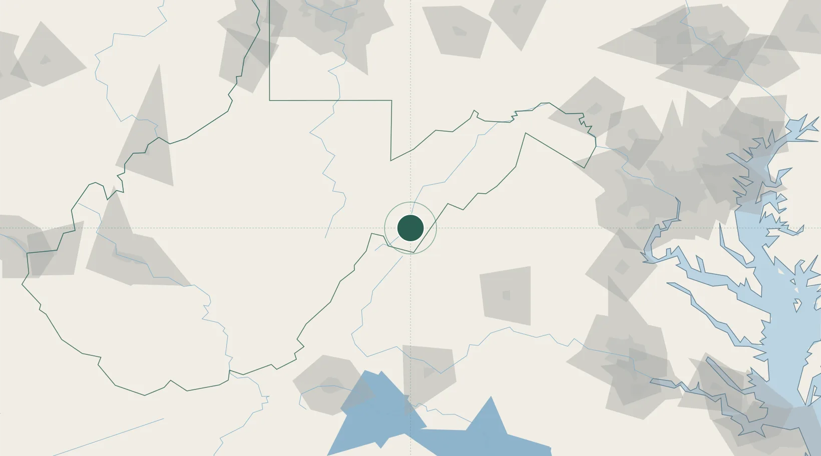
Hub Profile
Place type
Provincial seat
Region
West Virginia
Population
677
Time zone
America/New_York
Elevation
528 m
Location
Nearby Logistics Neighbours
Cities
- 1Bartow42 km
- 2Bridgewater43 km
- 3Mount Crawford46 km
- 4Fairview52 km
- 5Swoope55 km
Ports
- 1Fredericksburg167 km
- 2Alexandria199 km
- 3Washington D.C.200 km
- 4Richmond206 km
- 5Baltimore247 km
Airports
Trade Zones
DatabookThe Record of Consolidated Knowledge
United States beyond logistics?