Medium airport · United States

Morgantown Municipal Airport Walter L. (Bill) Hart FieldKMGW
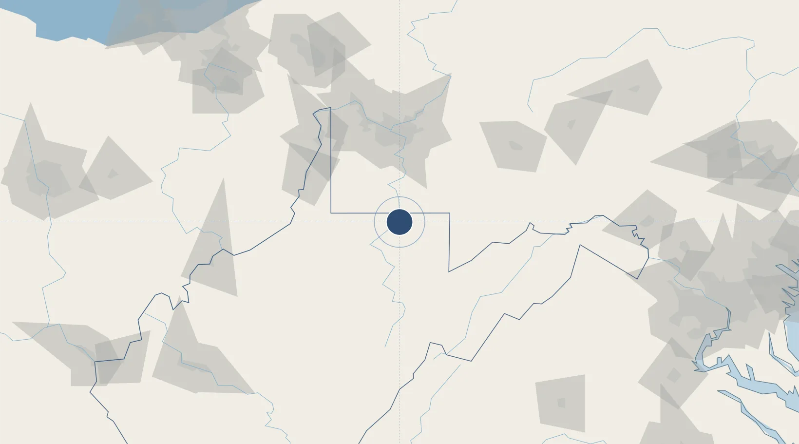
39.6433°, -79.9176°
5,199 ft
Longest runway
1
Runways
1,248 ft
Elevation

Runway & Layout

Morgantown Municipal Airport Walter L. (Bill) Hart Field runway & taxiway layout
Runway & taxiway layout — OpenStreetMap (ODbL) / OurAirports

Radio Frequencies

ASOS
120.675 MHz
TWR
125.1 MHz
GND
121.7 MHz
CTAF
125.1 MHz
A/D
121.15 MHz
CLARKSBURG APP/DEP
RDO
122.6 MHz
ELKINS RDO
UNIC
122.95 MHz
UNICOM
OurAirports

Runways · 1

RunwayDimensions SurfaceTrue headingLit
18/36 5,199 × 150ft Asphalt 172°
OurAirports

Airport Specifications

IATA code
MGW
OurAirports
ICAO code
KMGW
OurAirports
Airport class
Medium airport
OurAirports
Scheduled service
Yes
OurAirports
Runway surface
Asphalt
OurAirports
Served city
Morgantown
OurAirports

Location

Location of KMGW
Natural Earth 10m (public domain) · West Virginia · KMGW · 39.64, -79.92GoogleOSMYandex

Nearby Logistics Neighbours

Airports
  1. 1North Central West Virginia Airport47 km
  2. 2Allegheny County Airport79 km
  3. 3Arnold Palmer Regional Airport83 km
  4. 4Elkins-Randolph County Regional Airport84 km
  5. 5Wheeling Ohio County Airport86 km
Nearest neighbours — logibook spatial index (haversine) over the source coordinates
Cities
  1. 1Point Marion10 km
  2. 2Masontown16 km
  3. 3Reedsville17 km
  4. 4Smithfield19 km
  5. 5Kirby24 km
Nearest neighbours — logibook spatial index (haversine) over the source coordinates
Ports
  1. 1Cleveland256 km
  2. 2Fredericksburg260 km
  3. 3Ashtabula262 km
  4. 4Washington D.C.263 km
  5. 5Fairport263 km
Nearest neighbours — logibook spatial index (haversine) over the source coordinates
Trade Zones
  1. 1FTZ No. 033 Pittsburgh88 km
  2. 2FTZ No. 240 Martinsburg166 km
  3. 3FTZ No. 295 Central Pennsylvania192 km
  4. 4FTZ No. 185 Culpeper County204 km
  5. 5FTZ No. 229 Charleston212 km
Nearest neighbours — logibook spatial index (haversine) over the source coordinates
DatabookThe Record of Consolidated Knowledge
United States beyond logistics?
Browse databook

All Sources

AirportsOurAirports
Public domain
Portsthe NGA World Port Index
Public domain (US gov)
LocationsUN/LOCODE
UN/LOCODE — free
Trade Zonesthe World Bank SEZ database
CC BY 4.0
Trade ZonesOpen Zone Map
CC BY
InfrastructureOpenStreetMap
ODbL 1.0
← United States airports