Transport Functions
Multimodal
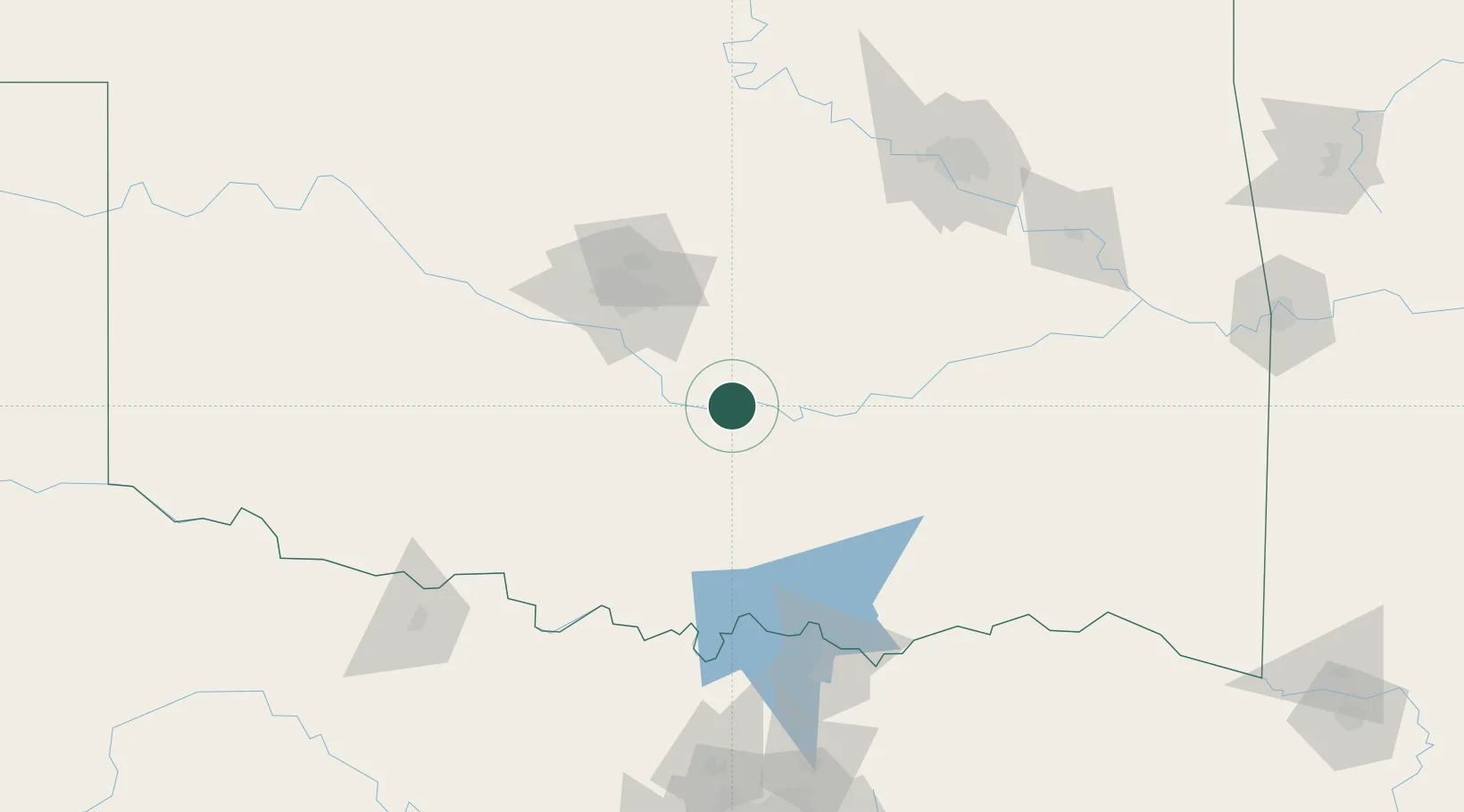
Hub Profile
Place type
Populated place
Region
Oklahoma
Population
356
Time zone
America/Chicago
Elevation
313 m
Location
Nearby Logistics Neighbours
Cities
- 1Maxwell16 km
- 2Saint Louis20 km
- 3Konawa24 km
- 4Paoli26 km
- 5Purcell31 km
Airports
Trade Zones
- 1FTZ No. 106 Oklahoma City74 km
- 2FTZ No. 227 Durant120 km
- 3FTZ No. 164 Muskogee167 km
- 4FTZ No. 053 Rogers County187 km
- 5FTZ No. 196 Fort Worth244 km
DatabookThe Record of Consolidated Knowledge
United States beyond logistics?