UN/LOCODE hub · United States
USYRX

Star

35.4000°, -79.7833°
874
Population
2
Transport functions

Transport Functions

Port
Multimodal
UN/LOCODE

Hub Profile

Place type
Populated place
GeoNames
Region
North Carolina
GeoNames
Population
874
GeoNames
Time zone
America/New_York
GeoNames
Elevation
194 m
GeoNames

Location

Location of USYRX
Natural Earth 10m (public domain) · North Carolina · USYRX · 35.40, -79.78GoogleOSMYandex

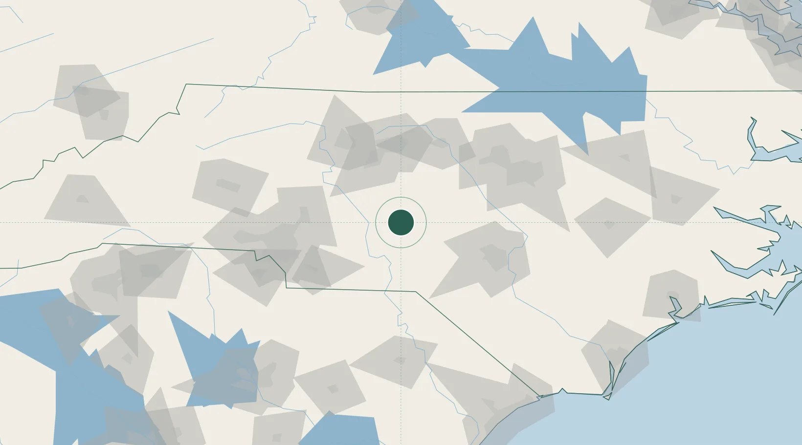
Nearby Logistics Neighbours

Cities
  1. 1Biscoe4 km
  2. 2Mount Gilead30 km
  3. 3Ellerbe37 km
  4. 4Denton39 km
  5. 5New London39 km
Nearest neighbours — logibook spatial index (haversine) over the source coordinates
Ports
  1. 1Wilmington212 km
  2. 2Wrightsville223 km
  3. 3Georgetown231 km
  4. 4Southport231 km
  5. 5Washington248 km
Nearest neighbours — logibook spatial index (haversine) over the source coordinates
Airports
  1. 1Pope Field74 km
  2. 2Piedmont Triad International Airport79 km
  3. 3Simmons Army Air Field82 km
  4. 4Concord-Padgett Regional Airport84 km
  5. 5Smith Reynolds Airport91 km
Nearest neighbours — logibook spatial index (haversine) over the source coordinates
Trade Zones
  1. 1FTZ No. 230 Piedmont Triad Area94 km
  2. 2FTZ No. 093 Raleigh Durham97 km
  3. 3FTZ No. 057 Mecklenburg County119 km
  4. 4FTZ No. 214 Lenoir County173 km
  5. 5FTZ No. 127 West Columbia199 km
Nearest neighbours — logibook spatial index (haversine) over the source coordinates
DatabookThe Record of Consolidated Knowledge
United States beyond logistics?
Browse databook

All Sources

LocationsUN/LOCODE
UN/LOCODE — free
LocationsGeoNames
CC BY 4.0
Portsthe NGA World Port Index
Public domain (US gov)
AirportsOurAirports
Public domain
Trade Zonesthe World Bank SEZ database
CC BY 4.0
Trade ZonesOpen Zone Map
CC BY
← United States locations