UN/LOCODE hub · United States
USNXA
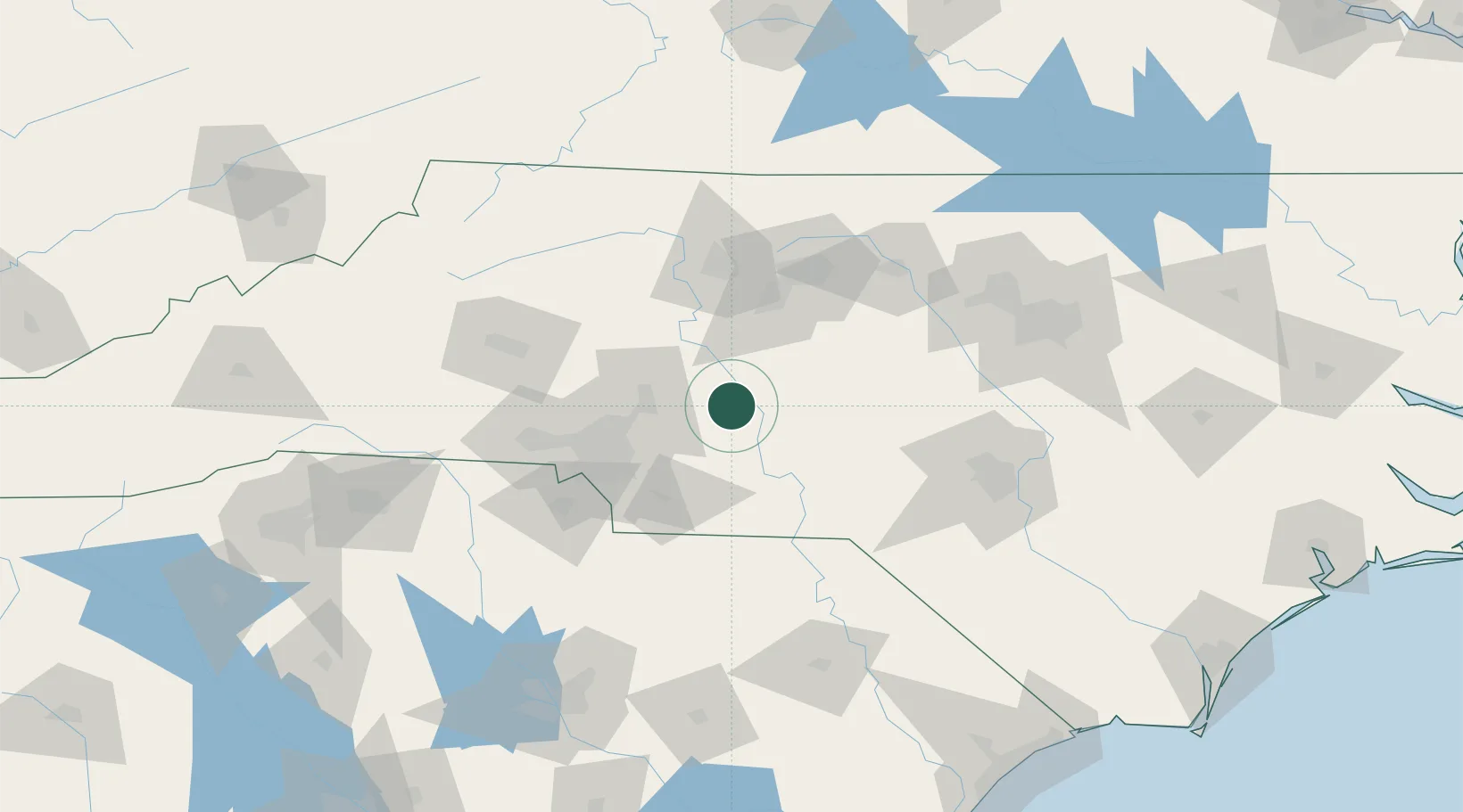
New London
35.4333°, -80.2167°
604
Population
2
Transport functions
Transport Functions
Rail
Road
Hub Profile
Place type
Populated place
Region
North Carolina
Population
604
Time zone
America/New_York
Elevation
223 m
Logistics facilities
1
Location
Nearby Logistics Neighbours
Ports
- 1Georgetown245 km
- 2Wilmington246 km
- 3Wrightsville258 km
- 4Southport263 km
- 5Washington287 km
Airports
Trade Zones
- 1FTZ No. 057 Mecklenburg County81 km
- 2FTZ No. 230 Piedmont Triad Area84 km
- 3FTZ No. 093 Raleigh Durham130 km
- 4FTZ No. 127 West Columbia181 km
- 5FTZ No. 238 Dublin190 km
DatabookThe Record of Consolidated Knowledge
United States beyond logistics?