Transport Functions
Rail
Road
Multimodal
Hub Profile
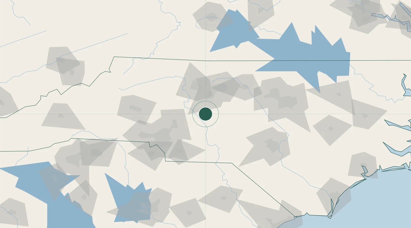
Place type
Populated place
Region
North Carolina
Population
1,657
Time zone
America/New_York
Elevation
213 m
Location
Nearby Logistics Neighbours
Cities
- 1Richfield24 km
- 2New London25 km
- 3Rockwell29 km
- 4Spencer31 km
- 5Glenola31 km
Ports
- 1Wilmington250 km
- 2Wrightsville261 km
- 3Georgetown263 km
- 4Southport270 km
- 5Washington276 km
Airports
Trade Zones
- 1FTZ No. 230 Piedmont Triad Area62 km
- 2FTZ No. 057 Mecklenburg County98 km
- 3FTZ No. 093 Raleigh Durham112 km
- 4FTZ No. 238 Dublin171 km
- 5FTZ No. 214 Lenoir County205 km
DatabookThe Record of Consolidated Knowledge
United States beyond logistics?