UN/LOCODE hub · United States
USMGQ
Mount Gilead
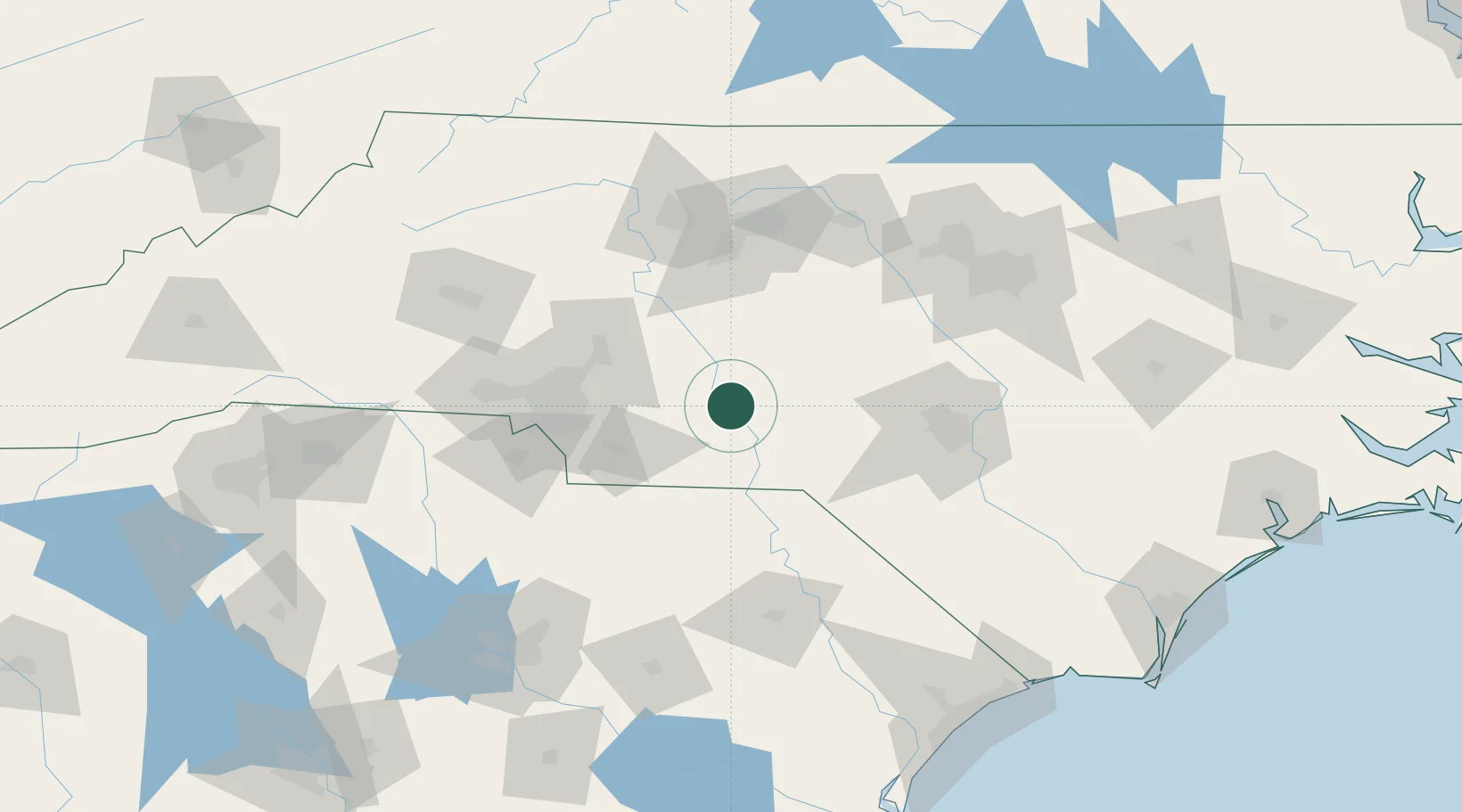
35.2000°, -80.0000°
1,180
Population
3
Transport functions
Transport Functions
Port
Road
Multimodal
Hub Profile
Place type
Populated place
Region
North Carolina
Population
1,180
Time zone
America/New_York
Elevation
123 m
Location
Nearby Logistics Neighbours
Cities
- 1Ansonville14 km
- 2Ellerbe26 km
- 3Lilesville26 km
- 4Biscoe27 km
- 5Wadesboro29 km
Ports
- 1Georgetown214 km
- 2Wilmington216 km
- 3Wrightsville228 km
- 4Southport231 km
- 5New Bern268 km
Airports
Trade Zones
DatabookThe Record of Consolidated Knowledge
United States beyond logistics?