Medium airport · United States
Smith Reynolds AirportKINT
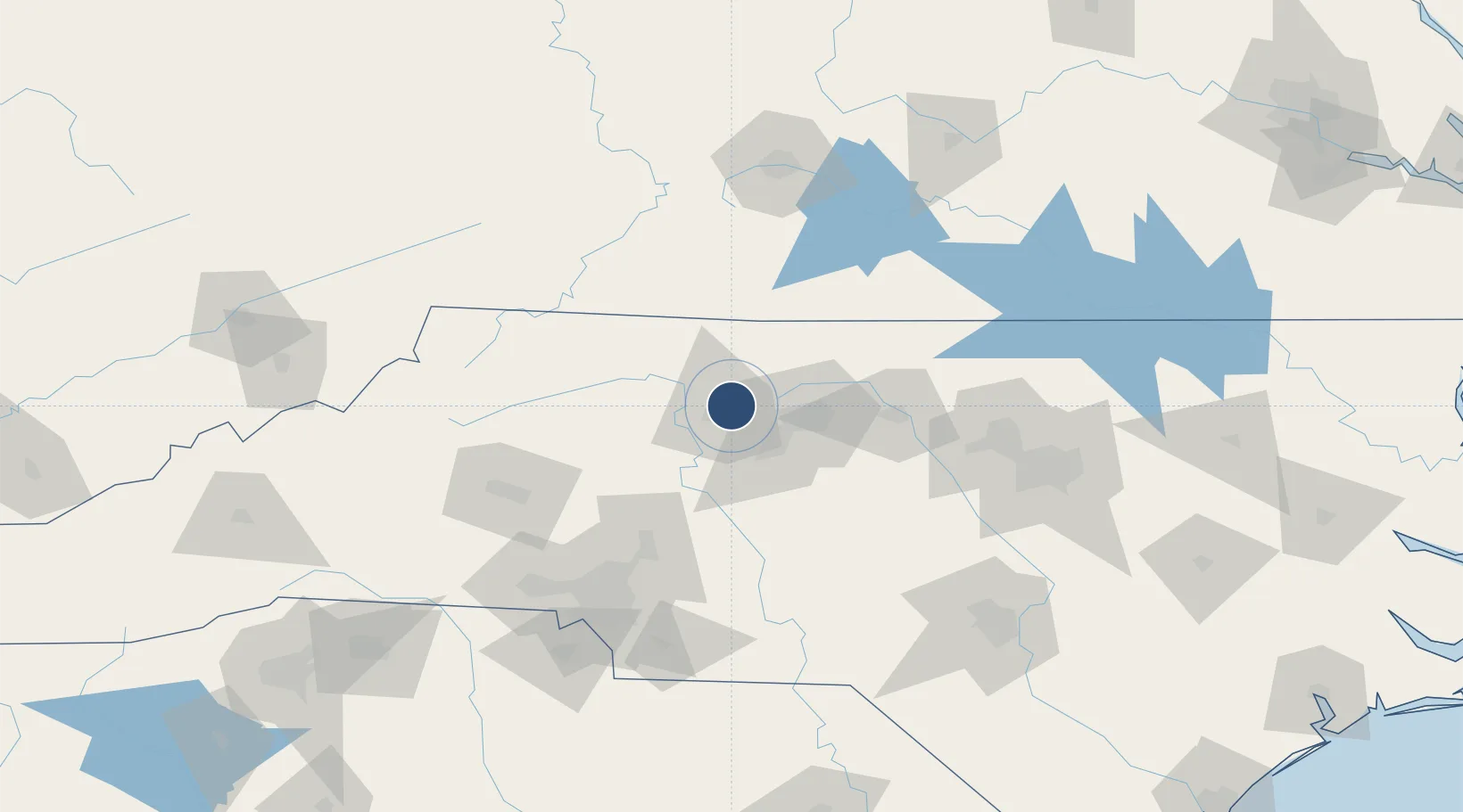
36.1337°, -80.2220°
6,655 ft
Longest runway
2
Runways
969 ft
Elevation
Runway & Layout

Radio Frequencies
ATIS
121.3 MHz
TWR
123.75 MHz
WINSTON SALEM TWR
GND
128.25 MHz
CTAF
123.75 MHz
A/D
124.35 MHz
GREENSBORO APP/DEP
UNIC
122.95 MHz
UNICOM
Navaids
IN NDB Reeno 317 kHz
Runways · 2
| Runway | Dimensions | Surface | True heading | Lit |
|---|---|---|---|---|
| 15/33 | 6,655 × 150ft | Asphalt | 145° | ✓ |
| 04/22 | 3,938 × 150ft | Asphalt | 031° | ✓ |
Airport Specifications
IATA code
INT
ICAO code
KINT
Airport class
Medium airport
Scheduled service
No
Runway surface
Asphalt
Served city
Winston Salem
Location
Nearby Logistics Neighbours
Airports
Cities
- 1Kernersville14 km
- 2Belews Creek18 km
- 3Colfax20 km
- 4East Bend26 km
- 5Welcome26 km
Ports
- 1Washington293 km
- 2Richmond294 km
- 3Wilmington295 km
- 4Wrightsville305 km
- 5New Bern309 km
Trade Zones
- 1FTZ No. 230 Piedmont Triad Area9 km
- 2FTZ No. 238 Dublin115 km
- 3FTZ No. 093 Raleigh Durham121 km
- 4FTZ No. 057 Mecklenburg County125 km
- 5FTZ No. 204 Tri-Cities200 km
DatabookThe Record of Consolidated Knowledge
United States beyond logistics?