Transport Functions
Port
Road
Hub Profile
Place type
Populated place
Region
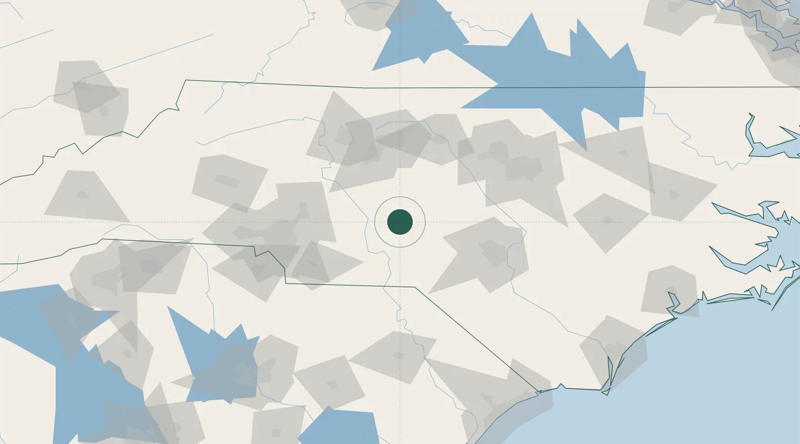
North Carolina
Population
1,690
Time zone
America/New_York
Elevation
188 m
Location
Nearby Logistics Neighbours
Cities
- 1Star4 km
- 2Mount Gilead27 km
- 3Ellerbe33 km
- 4New London40 km
- 5Denton41 km
Ports
- 1Wilmington210 km
- 2Wrightsville221 km
- 3Georgetown227 km
- 4Southport228 km
- 5Washington248 km
Airports
Trade Zones
DatabookThe Record of Consolidated Knowledge
United States beyond logistics?