Large airport · United States
Piedmont Triad International AirportKGSO
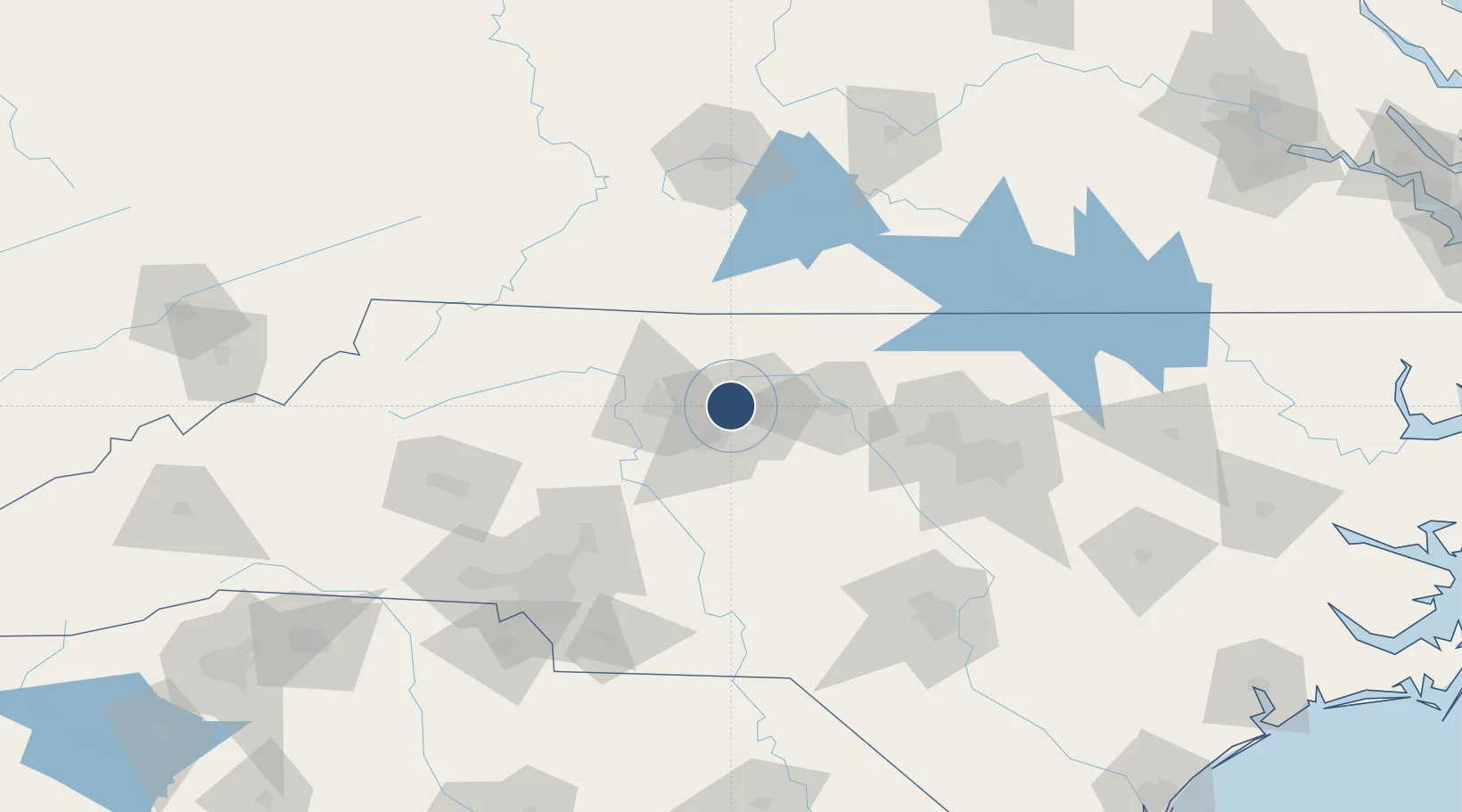
36.0994°, -79.9373°
10,001 ft
Longest runway
3
Runways
925 ft
Elevation
Runway & Layout

Radio Frequencies
ATIS
128.55 MHz
TWR
119.1 MHz
GND
121.9 MHz
CLD
121.75 MHz
CLNC DEL
A/D
118.5 MHz
APP/DEP
UNIC
122.95 MHz
UNICOM
Navaids
GS NDB Marky 254 kHz
GSO VORTAC Greensboro 116.20 MHz
LIB VORTAC Liberty 113.00 MHz
Runways · 3
| Runway | Dimensions | Surface | True heading | Lit |
|---|---|---|---|---|
| 05R/23L | 10,001 × 150ft | Asphalt / concrete | 046° | ✓ |
| 05L/23R | 9,000 × 150ft | ASPH | 046° | ✓ |
| 14/32 | 6,380 × 150ft | Asphalt | 135° | ✓ |
Airport Specifications
IATA code
GSO
ICAO code
KGSO
Airport class
Large airport
Scheduled service
Yes
Runway surface
Asphalt / concrete
Served city
Greensboro
Location
Nearby Logistics Neighbours
Airports
- 1Smith Reynolds Airport26 km
- 2Danville Regional Airport75 km
- 3Concord-Padgett Regional Airport105 km
- 4Raleigh-Durham International Airport106 km
- 5Pope Field133 km
Cities
- 1Colfax6 km
- 2Summerfield12 km
- 3Kernersville12 km
- 4Jamestown13 km
- 5Belews Creek19 km
Ports
- 1Washington267 km
- 2Wilmington275 km
- 3Richmond275 km
- 4New Bern284 km
- 5Wrightsville285 km
Trade Zones
- 1FTZ No. 230 Piedmont Triad Area22 km
- 2FTZ No. 093 Raleigh Durham95 km
- 3FTZ No. 238 Dublin130 km
- 4FTZ No. 057 Mecklenburg County140 km
- 5FTZ No. 214 Lenoir County209 km
DatabookThe Record of Consolidated Knowledge
United States beyond logistics?