Medium airport · United States

Concord-Padgett Regional AirportKJQF
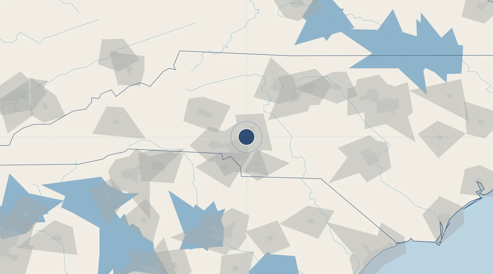
35.3878°, -80.7091°
7,402 ft
Longest runway
1
Runways
705 ft
Elevation

Runway & Layout

Concord-Padgett Regional Airport runway & taxiway layout
Runway & taxiway layout — OpenStreetMap (ODbL) / OurAirports

Radio Frequencies

AWOS
133.675 MHz
AWOS 3
TWR
134.65 MHz
FAA CONTRACT TWR
GND
121.85 MHz
CLD
118.55 MHz
CLNC DEL
A/D
128.32 MHz
CHARLOTTE APP/DEP
UNIC
122.95 MHz
CTAF/UNICOM
OurAirports

Runways · 1

RunwayDimensions SurfaceTrue headingLit
02/20 7,402 × 100ft Asphalt 010°
OurAirports

Airport Specifications

IATA code
USA
OurAirports
ICAO code
KJQF
OurAirports
Airport class
Medium airport
OurAirports
Scheduled service
Yes
OurAirports
Runway surface
Asphalt
OurAirports
Served city
Concord
OurAirports

Location

Location of KJQF
Natural Earth 10m (public domain) · North Carolina · KJQF · 35.39, -80.71GoogleOSMYandex

Nearby Logistics Neighbours

Airports
  1. 1Charlotte Douglas International Airport29 km
  2. 2Hickory Regional Airport73 km
  3. 3Smith Reynolds Airport94 km
  4. 4Piedmont Triad International Airport105 km
  5. 5Greenville-Spartanburg International Airport148 km
Nearest neighbours — logibook spatial index (haversine) over the source coordinates
Cities
  1. 1Cornelius17 km
  2. 2Toddville23 km
  3. 3China Grove24 km
  4. 4Mount Ulla31 km
  5. 5Faith32 km
Nearest neighbours — logibook spatial index (haversine) over the source coordinates
Ports
  1. 1Georgetown260 km
  2. 2Wilmington283 km
  3. 3Wrightsville294 km
  4. 4Southport296 km
  5. 5Charleston299 km
Nearest neighbours — logibook spatial index (haversine) over the source coordinates
Trade Zones
  1. 1FTZ No. 057 Mecklenburg County37 km
  2. 2FTZ No. 230 Piedmont Triad Area102 km
  3. 3FTZ No. 038 Spartanburg County151 km
  4. 4FTZ No. 127 West Columbia160 km
  5. 5FTZ No. 093 Raleigh Durham173 km
Nearest neighbours — logibook spatial index (haversine) over the source coordinates
DatabookThe Record of Consolidated Knowledge
United States beyond logistics?
Browse databook

All Sources

AirportsOurAirports
Public domain
Portsthe NGA World Port Index
Public domain (US gov)
LocationsUN/LOCODE
UN/LOCODE — free
Trade Zonesthe World Bank SEZ database
CC BY 4.0
Trade ZonesOpen Zone Map
CC BY
InfrastructureOpenStreetMap
ODbL 1.0
← United States airports