UN/LOCODE hub · United States
USYPB
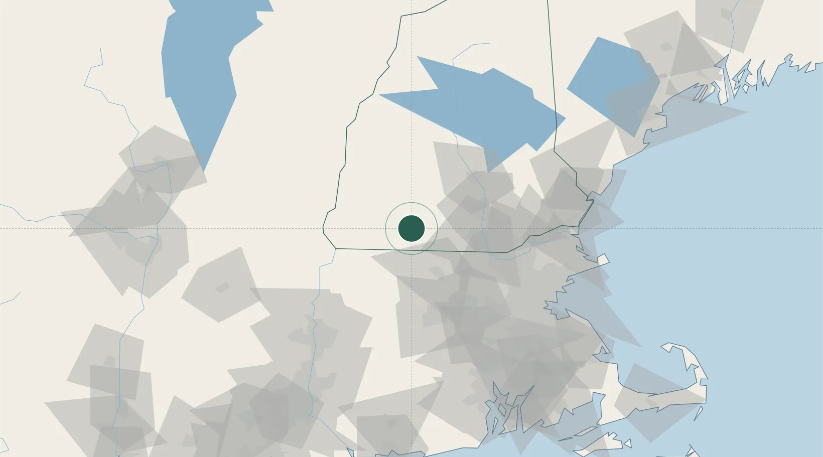
Peterborough
42.8667°, -71.9500°
3,103
Population
4
Transport functions
Transport Functions
Port
Rail
Road
Multimodal
Hub Profile
Place type
Populated place
Region
New Hampshire
Population
3,103
Time zone
America/New_York
Elevation
219 m
Location
Nearby Logistics Neighbours
Cities
- 1South Barre12 km
- 2Lyndeborough15 km
- 3New Ipswich17 km
- 4Wilton18 km
- 5Fitzwilliam20 km
Ports
- 1Newburyport89 km
- 2Boston93 km
- 3Lynn94 km
- 4Beverly95 km
- 5Salem96 km
Airports
Trade Zones
- 1FTZ No. 268 Brattleboro53 km
- 2FTZ No. 027 Boston92 km
- 3FTZ No. 081 Portsmouth92 km
- 4FTZ No. 201 Holyoke95 km
- 5FTZ No. 071 Windsor Locks118 km
DatabookThe Record of Consolidated Knowledge
United States beyond logistics?