UN/LOCODE hub · United States
USLB6
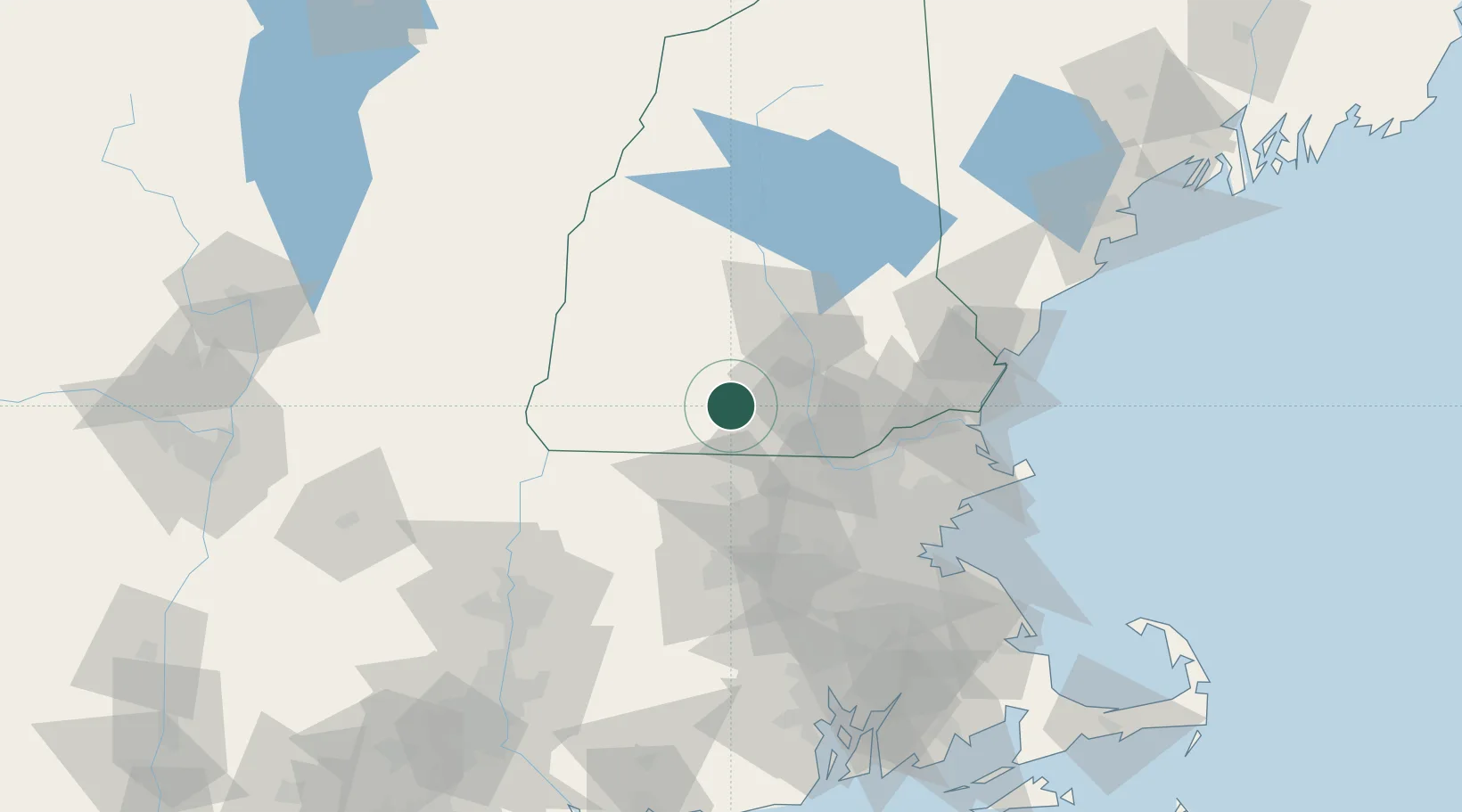
Lyndeborough
42.9000°, -71.7667°
1,688
Population
1
Transport functions
Transport Functions
Multimodal
Hub Profile
Place type
Populated place
Region
New Hampshire
Population
1,688
Time zone
America/New_York
Elevation
269 m
Location
Nearby Logistics Neighbours
Cities
- 1Wilton8 km
- 2Peterborough15 km
- 3Goffstown19 km
- 4New Ipswich20 km
- 5Hillsboro24 km
Ports
- 1Newburyport74 km
- 2Beverly83 km
- 3Lynn83 km
- 4Salem84 km
- 5Boston85 km
Airports
Trade Zones
- 1FTZ No. 268 Brattleboro68 km
- 2FTZ No. 081 Portsmouth77 km
- 3FTZ No. 027 Boston84 km
- 4FTZ No. 201 Holyoke108 km
- 5FTZ No. 105 Providence and North Kingstown123 km
DatabookThe Record of Consolidated Knowledge
United States beyond logistics?