Transport Functions
Rail
Road
Hub Profile
Place type
Populated place
Region
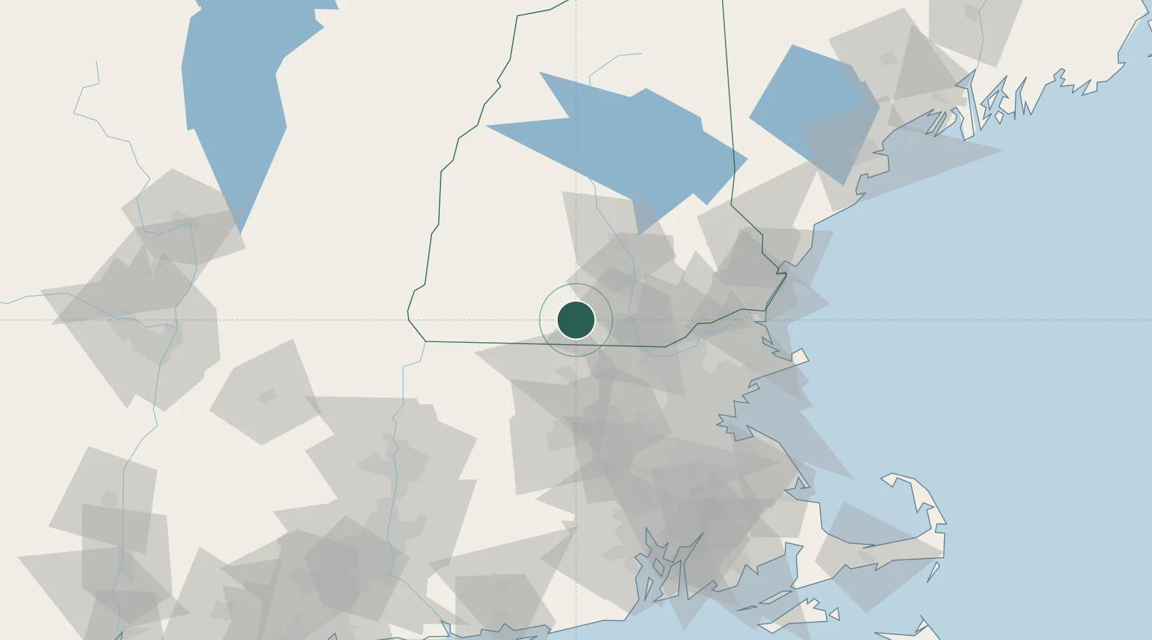
New Hampshire
Population
1,163
Time zone
America/New_York
Elevation
116 m
Location
Nearby Logistics Neighbours
Cities
- 1Lyndeborough8 km
- 2New Ipswich15 km
- 3Peterborough18 km
- 4Goffstown23 km
- 5Ashburnham26 km
Ports
- 1Newburyport71 km
- 2Lynn77 km
- 3Beverly77 km
- 4Boston78 km
- 5Salem78 km
Airports
Trade Zones
- 1FTZ No. 268 Brattleboro71 km
- 2FTZ No. 081 Portsmouth76 km
- 3FTZ No. 027 Boston77 km
- 4FTZ No. 201 Holyoke105 km
- 5FTZ No. 105 Providence and North Kingstown115 km
DatabookThe Record of Consolidated Knowledge
United States beyond logistics?