UN/LOCODE hub · United States
USQNN
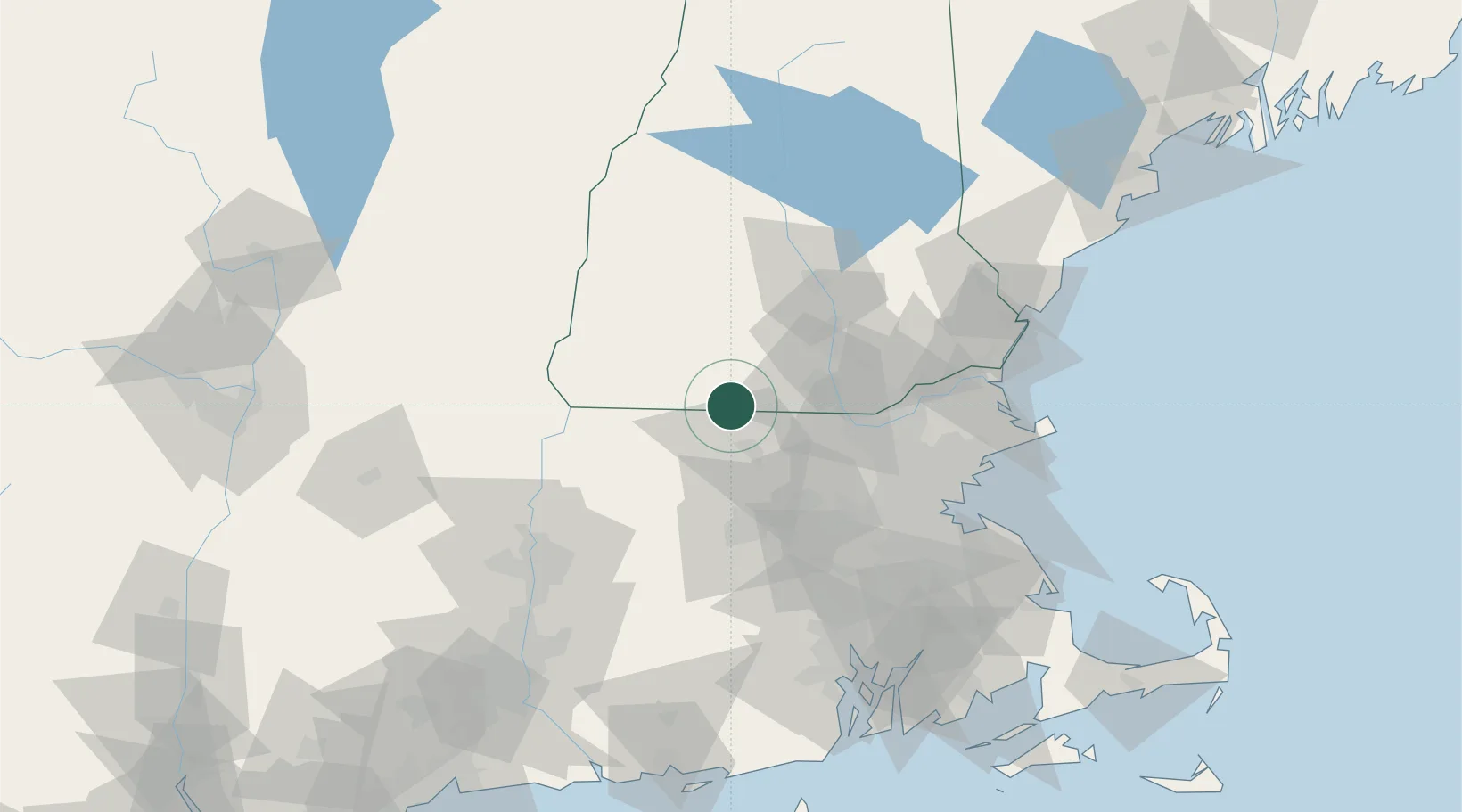
New Ipswich
42.7333°, -71.8500°
5,283
Population
3
Transport functions
Transport Functions
Port
Road
Multimodal
Hub Profile
Place type
Populated place
Region
New Hampshire
Population
5,283
Time zone
America/New_York
Elevation
323 m
Location
Nearby Logistics Neighbours
Cities
- 1Ashburnham12 km
- 2Wilton15 km
- 3Peterborough17 km
- 4Lyndeborough20 km
- 5Fitzwilliam25 km
Ports
- 1Boston78 km
- 2Lynn80 km
- 3Newburyport81 km
- 4Beverly82 km
- 5Salem83 km
Airports
Trade Zones
- 1FTZ No. 268 Brattleboro63 km
- 2FTZ No. 027 Boston77 km
- 3FTZ No. 081 Portsmouth89 km
- 4FTZ No. 201 Holyoke91 km
- 5FTZ No. 105 Providence and North Kingstown107 km
DatabookThe Record of Consolidated Knowledge
United States beyond logistics?