UN/LOCODE hub · United States
USYOB

Oakboro

35.2167°, -80.3167°
1,874
Population
4
Transport functions

Transport Functions

Port
Rail
Road
Multimodal
UN/LOCODE

Hub Profile

Place type
Populated place
GeoNames
Region
North Carolina
GeoNames
Population
1,874
GeoNames
Time zone
America/New_York
GeoNames
Elevation
158 m
GeoNames

Location

Location of USYOB
Natural Earth 10m (public domain) · North Carolina · USYOB · 35.22, -80.32GoogleOSMYandex

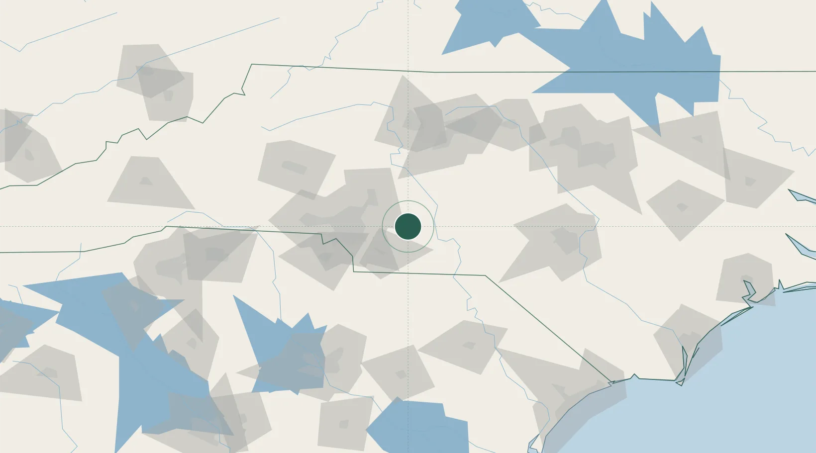
Nearby Logistics Neighbours

Cities
  1. 1Ansonville24 km
  2. 2New London26 km
  3. 3Polkton26 km
  4. 4Richfield28 km
  5. 5Mount Gilead29 km
Nearest neighbours — logibook spatial index (haversine) over the source coordinates
Ports
  1. 1Georgetown227 km
  2. 2Wilmington242 km
  3. 3Wrightsville254 km
  4. 4Southport255 km
  5. 5Charleston273 km
Nearest neighbours — logibook spatial index (haversine) over the source coordinates
Airports
  1. 1Concord-Padgett Regional Airport40 km
  2. 2Charlotte Douglas International Airport57 km
  3. 3Smith Reynolds Airport102 km
  4. 4Piedmont Triad International Airport104 km
  5. 5Hickory Regional Airport113 km
Nearest neighbours — logibook spatial index (haversine) over the source coordinates
Trade Zones
  1. 1FTZ No. 057 Mecklenburg County70 km
  2. 2FTZ No. 230 Piedmont Triad Area109 km
  3. 3FTZ No. 093 Raleigh Durham149 km
  4. 4FTZ No. 127 West Columbia155 km
  5. 5FTZ No. 038 Spartanburg County180 km
Nearest neighbours — logibook spatial index (haversine) over the source coordinates
DatabookThe Record of Consolidated Knowledge
United States beyond logistics?
Browse databook

All Sources

LocationsUN/LOCODE
UN/LOCODE — free
LocationsGeoNames
CC BY 4.0
Portsthe NGA World Port Index
Public domain (US gov)
AirportsOurAirports
Public domain
Trade Zonesthe World Bank SEZ database
CC BY 4.0
Trade ZonesOpen Zone Map
CC BY
← United States locations