Medium airport · United States

Hickory Regional AirportKHKY
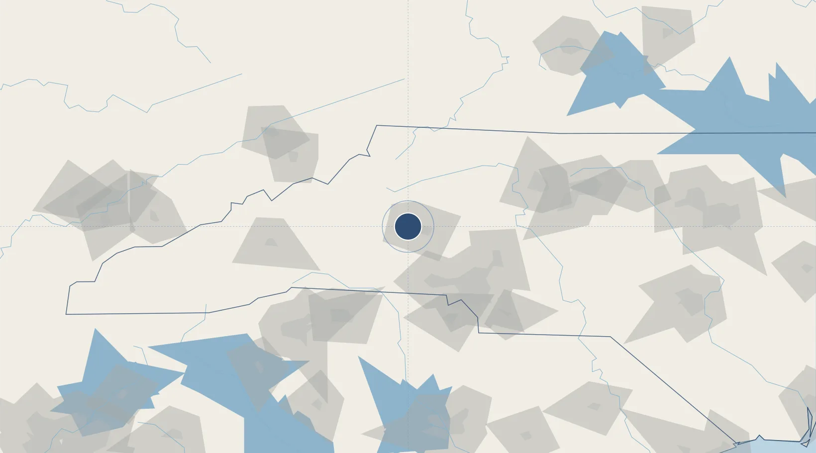
35.7411°, -81.3895°
6,401 ft
Longest runway
1
Runways
1,190 ft
Elevation

Runway & Layout

Hickory Regional Airport runway & taxiway layout
Runway & taxiway layout — OpenStreetMap (ODbL) / OurAirports

Radio Frequencies

ASOS
118.325 MHz
TWR
128.15 MHz
GND
121.7 MHz
CLD
121.7 MHz
CLNC DEL
CTAF
128.15 MHz
CNTR
125.15 MHz
ATLANTA CNTR
RDO
122.2 MHz
RALEIGH RDO
OurAirports

Navaids

BZM VOR-DME Barretts Mt 110.80 MHz
HK NDB Tawba 332 kHz
OurAirports

Runways · 1

RunwayDimensions SurfaceTrue headingLit
06/24 6,401 × 150ft Asphalt 055°
OurAirports

Airport Specifications

IATA code
HKY
OurAirports
ICAO code
KHKY
OurAirports
Airport class
Medium airport
OurAirports
Scheduled service
No
OurAirports
Runway surface
Asphalt
OurAirports
Served city
Hickory
OurAirports

Location

Location of KHKY
Natural Earth 10m (public domain) · North Carolina · KHKY · 35.74, -81.39GoogleOSMYandex

Nearby Logistics Neighbours

Airports
  1. 1Charlotte Douglas International Airport71 km
  2. 2Concord-Padgett Regional Airport73 km
  3. 3Asheville Regional Airport110 km
  4. 4Smith Reynolds Airport114 km
  5. 5Greenville-Spartanburg International Airport120 km
Nearest neighbours — logibook spatial index (haversine) over the source coordinates
Cities
  1. 1Icard8 km
  2. 2Connelly Springs10 km
  3. 3Sawmills11 km
  4. 4Connellys Springs12 km
  5. 5Iron Station41 km
Nearest neighbours — logibook spatial index (haversine) over the source coordinates
Ports
  1. 1Georgetown327 km
  2. 2Wilmington355 km
  3. 3Charleston356 km
  4. 4Wrightsville367 km
  5. 5Southport369 km
Nearest neighbours — logibook spatial index (haversine) over the source coordinates
Trade Zones
  1. 1FTZ No. 057 Mecklenburg County60 km
  2. 2FTZ No. 230 Piedmont Triad Area122 km
  3. 3FTZ No. 038 Spartanburg County123 km
  4. 4FTZ No. 204 Tri-Cities123 km
  5. 5FTZ No. 238 Dublin163 km
Nearest neighbours — logibook spatial index (haversine) over the source coordinates
DatabookThe Record of Consolidated Knowledge
United States beyond logistics?
Browse databook

All Sources

AirportsOurAirports
Public domain
Portsthe NGA World Port Index
Public domain (US gov)
LocationsUN/LOCODE
UN/LOCODE — free
Trade Zonesthe World Bank SEZ database
CC BY 4.0
Trade ZonesOpen Zone Map
CC BY
InfrastructureOpenStreetMap
ODbL 1.0
← United States airports