Transport Functions
Rail
Road
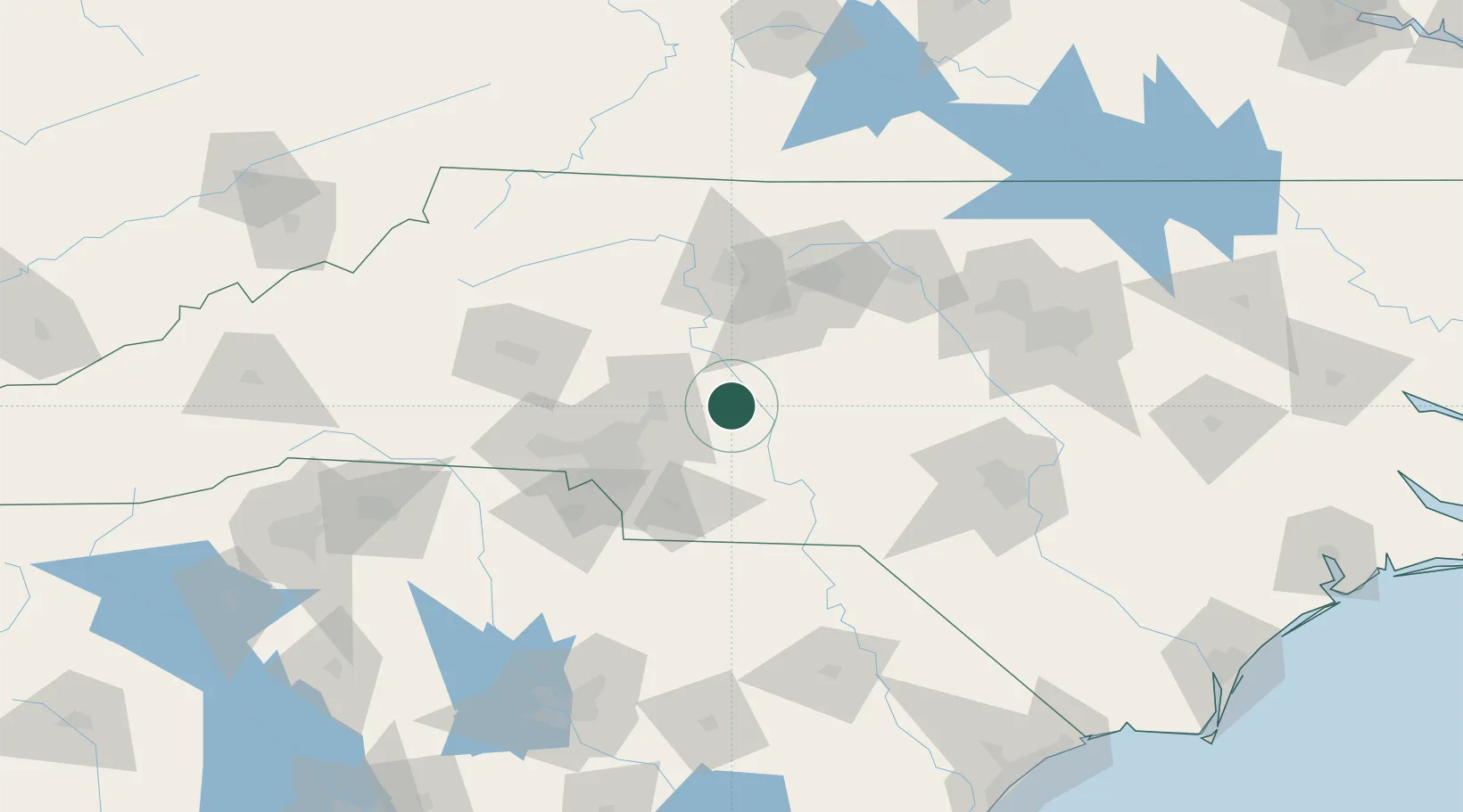
Hub Profile
Place type
Populated place
Region
North Carolina
Population
611
Time zone
America/New_York
Elevation
197 m
Location
Nearby Logistics Neighbours
Cities
- 1New London6 km
- 2Rockwell15 km
- 3Faith21 km
- 4Denton24 km
- 5Oakboro28 km
Ports
- 1Georgetown250 km
- 2Wilmington252 km
- 3Wrightsville263 km
- 4Southport268 km
- 5Washington291 km
Airports
Trade Zones
- 1FTZ No. 057 Mecklenburg County78 km
- 2FTZ No. 230 Piedmont Triad Area81 km
- 3FTZ No. 093 Raleigh Durham132 km
- 4FTZ No. 127 West Columbia182 km
- 5FTZ No. 238 Dublin186 km
DatabookThe Record of Consolidated Knowledge
United States beyond logistics?