Transport Functions
Rail
Road
Hub Profile
Place type
Populated place
Region
North Carolina
Population
3,495
Time zone
America/New_York
Elevation
99 m
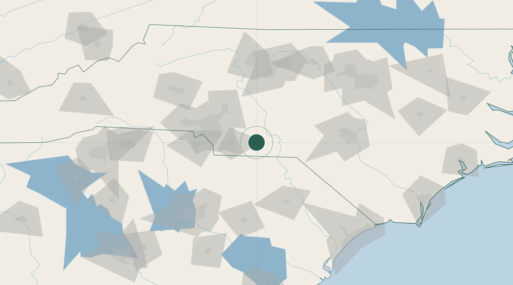
Location
Nearby Logistics Neighbours
Cities
- 1Wadesboro13 km
- 2Ansonville14 km
- 3Lilesville20 km
- 4Oakboro26 km
- 5Mount Gilead29 km
Ports
- 1Georgetown200 km
- 2Wilmington223 km
- 3Southport234 km
- 4Wrightsville235 km
- 5Charleston248 km
Airports
- 1Concord-Padgett Regional Airport63 km
- 2Charlotte Douglas International Airport72 km
- 3Florence Regional Airport101 km
- 4Pope Field110 km
- 5Lumberton Regional Airport113 km
Trade Zones
DatabookThe Record of Consolidated Knowledge
United States beyond logistics?