UN/LOCODE hub · United States
USVFR
Ansonville
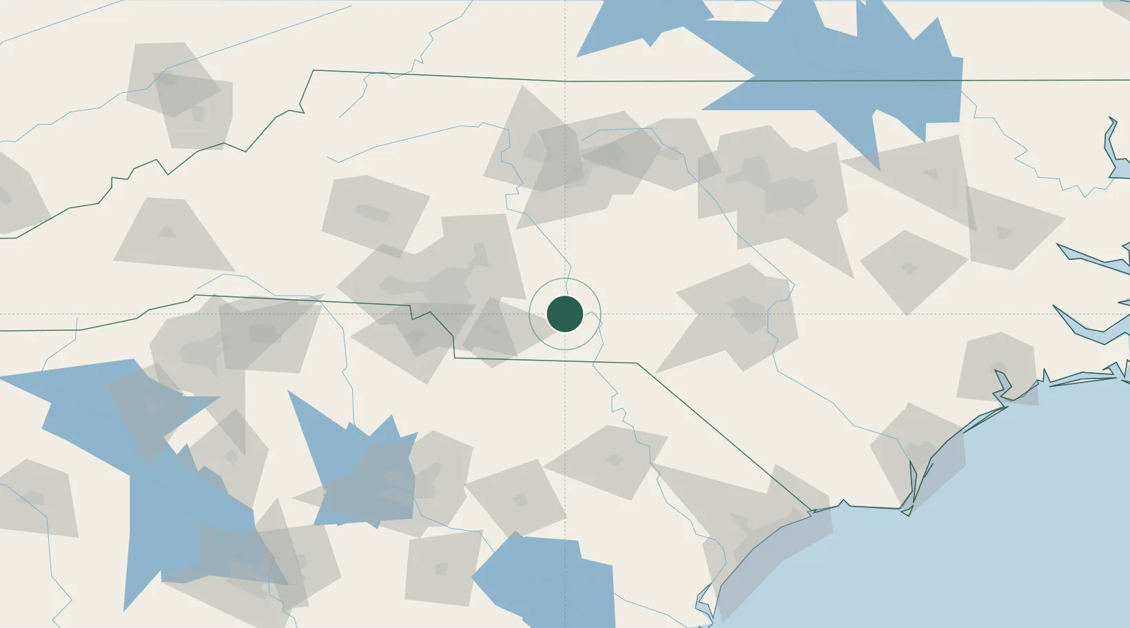
35.1000°, -80.1000°
595
Population
2
Transport functions
Transport Functions
Port
Multimodal
Hub Profile
Place type
Populated place
Region
North Carolina
Population
595
Time zone
America/New_York
Elevation
101 m
Location
Nearby Logistics Neighbours
Cities
- 1Mount Gilead14 km
- 2Polkton14 km
- 3Wadesboro17 km
- 4Lilesville18 km
- 5Oakboro24 km
Ports
- 1Georgetown207 km
- 2Wilmington219 km
- 3Wrightsville231 km
- 4Southport232 km
- 5Charleston258 km
Airports
- 1Concord-Padgett Regional Airport64 km
- 2Charlotte Douglas International Airport78 km
- 3Pope Field99 km
- 4Simmons Army Air Field106 km
- 5Florence Regional Airport107 km
Trade Zones
DatabookThe Record of Consolidated Knowledge
United States beyond logistics?