UN/LOCODE hub · United States
USEH3

Ellsworth

43.8667°, -71.7333°
93
Population
2
Transport functions

Transport Functions

Road
Multimodal
UN/LOCODE

Hub Profile

Place type
Populated place
GeoNames
Region
New Hampshire
GeoNames
Population
93
GeoNames
Time zone
America/New_York
GeoNames
Elevation
348 m
GeoNames

Location

Location of USEH3
Natural Earth 10m (public domain) · New Hampshire · USEH3 · 43.87, -71.73GoogleOSMYandex

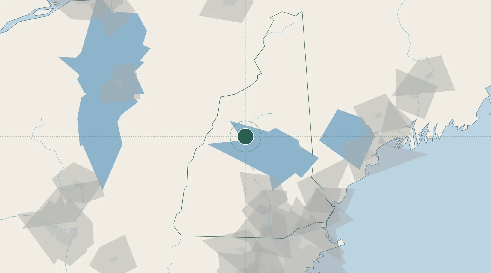
Nearby Logistics Neighbours

Cities
  1. 1Campton7 km
  2. 2Wentworth15 km
  3. 3North Woodstock17 km
  4. 4Lincoln19 km
  5. 5Ashland22 km
Nearest neighbours — logibook spatial index (haversine) over the source coordinates
Ports
  1. 1Saco111 km
  2. 2Kennebunkport116 km
  3. 3Portsmouth118 km
  4. 4Portland121 km
  5. 5Newburyport136 km
Nearest neighbours — logibook spatial index (haversine) over the source coordinates
Airports
  1. 1Lebanon Municipal Airport53 km
  2. 2Edward F Knapp State Airport76 km
  3. 3Concord Municipal Airport76 km
  4. 4Rutland - Southern Vermont Regional Airport105 km
  5. 5Manchester-Boston Regional Airport107 km
Nearest neighbours — logibook spatial index (haversine) over the source coordinates
Trade Zones
  1. 1FTZ No. 081 Portsmouth115 km
  2. 2FTZ No. 263 Auburn125 km
  3. 3FTZ No. 268 Brattleboro132 km
  4. 4FTZ No. 186 Waterville179 km
  5. 5FTZ No. 027 Boston180 km
Nearest neighbours — logibook spatial index (haversine) over the source coordinates
DatabookThe Record of Consolidated Knowledge
United States beyond logistics?
Browse databook

All Sources

LocationsUN/LOCODE
UN/LOCODE — free
LocationsGeoNames
CC BY 4.0
Portsthe NGA World Port Index
Public domain (US gov)
AirportsOurAirports
Public domain
Trade Zonesthe World Bank SEZ database
CC BY 4.0
Trade ZonesOpen Zone Map
CC BY
← United States locations