Transport Functions
Rail
Road
Hub Profile
Place type
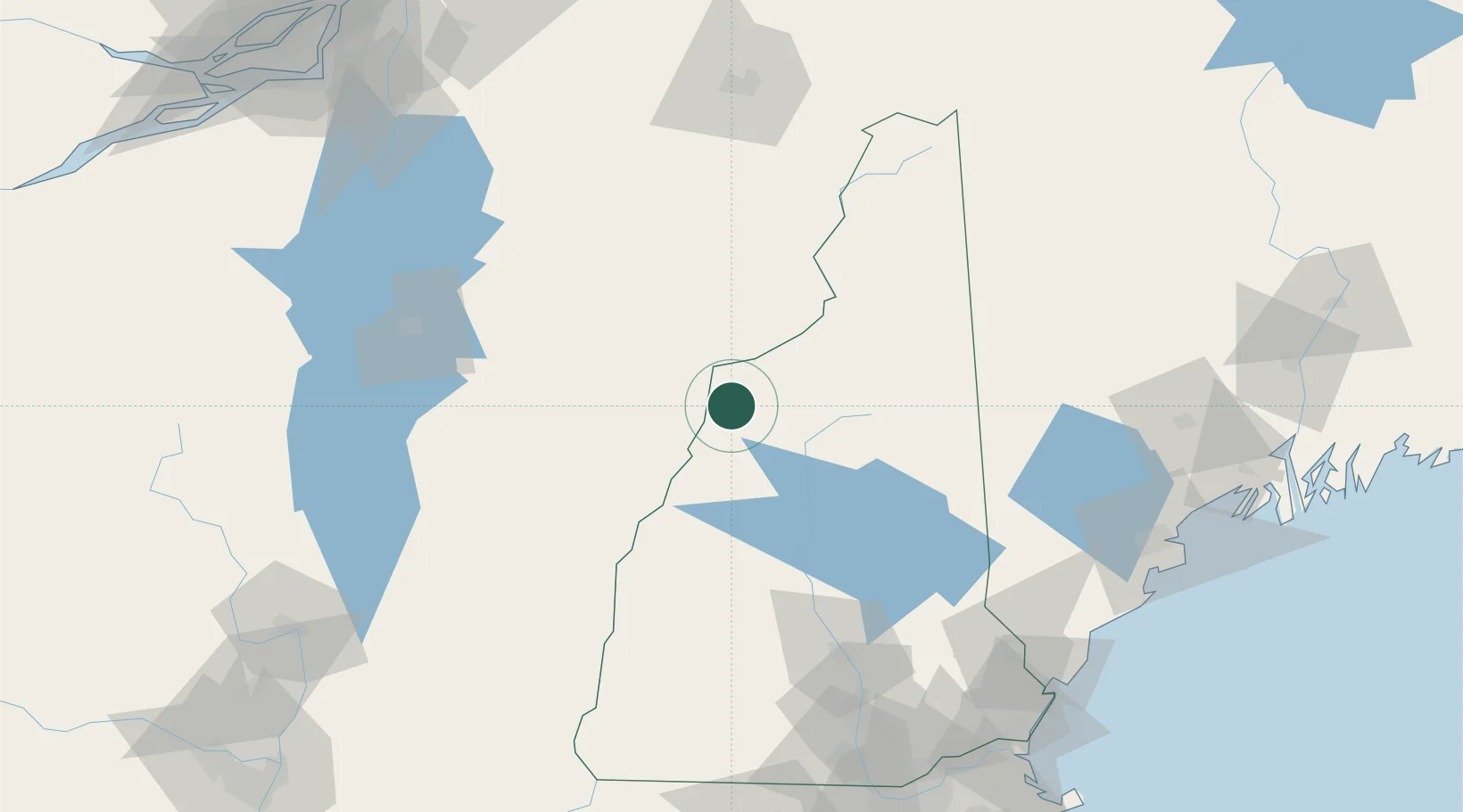
Populated place
Region
New Hampshire
Population
951
Time zone
America/New_York
Elevation
158 m
Location
Nearby Logistics Neighbours
Cities
- 1Woodsville7 km
- 2Monroe12 km
- 3Bethlehem25 km
- 4Lincoln27 km
- 5North Woodstock27 km
Ports
- 1Saco141 km
- 2Portland147 km
- 3Kennebunkport149 km
- 4Portsmouth154 km
- 5South Harpswell162 km
Airports
Trade Zones
- 1FTZ No. 263 Auburn139 km
- 2FTZ No. 081 Portsmouth152 km
- 3FTZ No. 268 Brattleboro154 km
- 4FTZ No. 186 Waterville184 km
- 5Greater Montreal Free Zone Center196 km
DatabookThe Record of Consolidated Knowledge
United States beyond logistics?