Transport Functions
Port
Road
Multimodal
Hub Profile
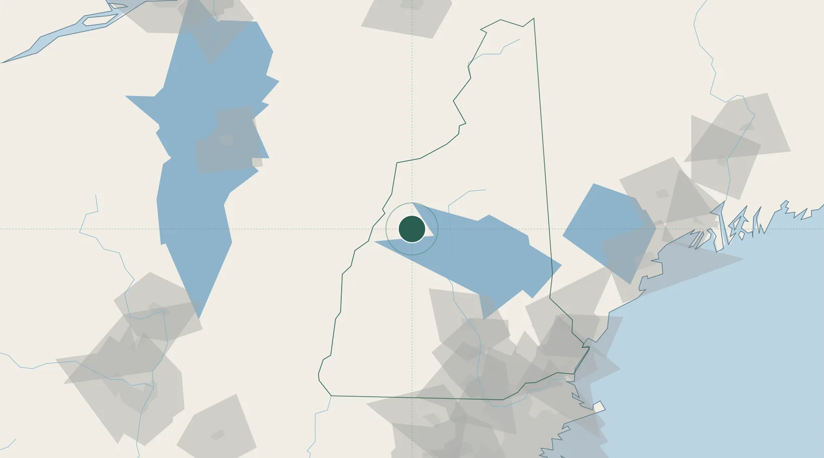
Place type
Populated place
Region
New Hampshire
Population
850
Time zone
America/New_York
Elevation
188 m
Location
Nearby Logistics Neighbours
Cities
- 1Ellsworth15 km
- 2Lyme20 km
- 3Campton20 km
- 4North Woodstock25 km
- 5Lincoln27 km
Ports
- 1Saco125 km
- 2Portsmouth128 km
- 3Kennebunkport129 km
- 4Portland136 km
- 5Newburyport144 km
Airports
Trade Zones
- 1FTZ No. 268 Brattleboro125 km
- 2FTZ No. 081 Portsmouth125 km
- 3FTZ No. 263 Auburn139 km
- 4FTZ No. 027 Boston185 km
- 5FTZ No. 186 Waterville192 km
DatabookThe Record of Consolidated Knowledge
United States beyond logistics?