UN/LOCODE hub · United States
USYMS
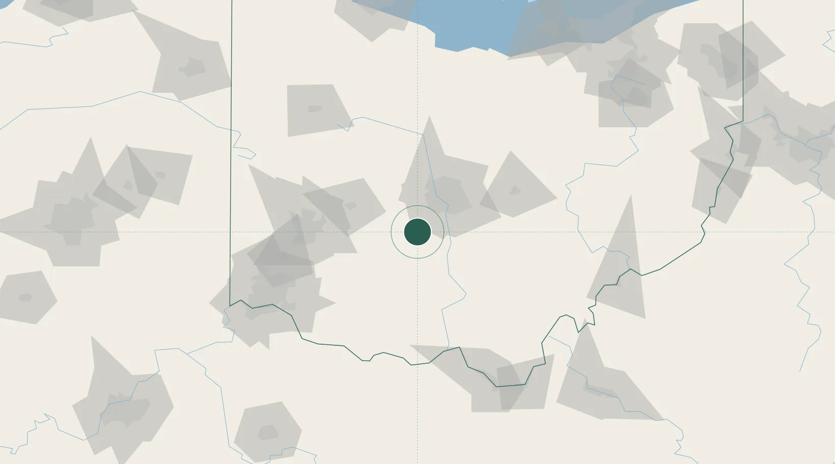
Mount Sterling
39.7167°, -83.2500°
1,745
Population
3
Transport functions
Transport Functions
Rail
Road
Multimodal
Hub Profile
Place type
Populated place
Region
Ohio
Population
1,745
Time zone
America/New_York
Elevation
275 m
Location
Nearby Logistics Neighbours
Cities
- 1Urbancrest25 km
- 2West Jefferson, Madison26 km
- 3South Solon30 km
- 4South Charleston35 km
- 5Sabina42 km
Ports
- 1Huron196 km
- 2Sandusky198 km
- 3Port Clinton202 km
- 4Vermilion205 km
- 5Lorain214 km
Airports
Trade Zones
- 1FTZ No. 138 Franklin County29 km
- 2FTZ No. 054 Clinton County56 km
- 3FTZ No. 100 Dayton89 km
- 4FTZ No. 046 CIncinnati129 km
- 5FTZ No. 151 Findlay152 km
DatabookThe Record of Consolidated Knowledge
United States beyond logistics?