UN/LOCODE hub · United States
USOUL
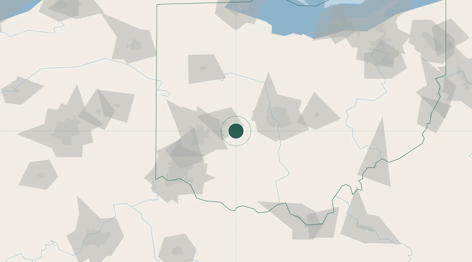
South Charleston
39.8167°, -83.6333°
1,661
Population
3
Transport functions
Transport Functions
Rail
Road
Multimodal
Hub Profile
Place type
Populated place
Region
Ohio
Population
1,661
Time zone
America/New_York
Elevation
343 m
Location
Nearby Logistics Neighbours
Cities
- 1South Solon10 km
- 2Enon26 km
- 3Mount Sterling35 km
- 4West Jefferson, Madison35 km
- 5New Carlisle35 km
Ports
- 1Sandusky197 km
- 2Port Clinton198 km
- 3Huron198 km
- 4Vermilion209 km
- 5Toledo210 km
Airports
Trade Zones
- 1FTZ No. 054 Clinton County45 km
- 2FTZ No. 100 Dayton56 km
- 3FTZ No. 138 Franklin County60 km
- 4FTZ No. 046 CIncinnati110 km
- 5FTZ No. 151 Findlay136 km
DatabookThe Record of Consolidated Knowledge
United States beyond logistics?