UN/LOCODE hub · United States
USS8S
South Solon
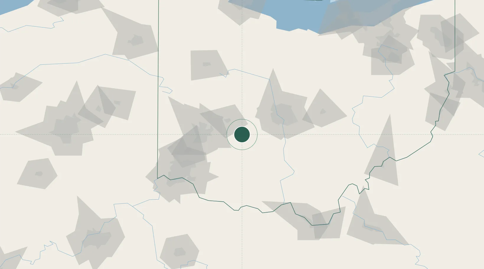
39.7333°, -83.6000°
361
Population
1
Transport functions
Transport Functions
Multimodal
Hub Profile
Place type
Populated place
Region
Ohio
Population
361
Time zone
America/New_York
Elevation
340 m
Location
Nearby Logistics Neighbours
Cities
- 1South Charleston10 km
- 2Sabina28 km
- 3Mount Sterling30 km
- 4Enon32 km
- 5West Jefferson, Madison37 km
Ports
- 1Sandusky205 km
- 2Huron206 km
- 3Port Clinton206 km
- 4Vermilion216 km
- 5Toledo219 km
Airports
Trade Zones
- 1FTZ No. 054 Clinton County37 km
- 2FTZ No. 138 Franklin County57 km
- 3FTZ No. 100 Dayton59 km
- 4FTZ No. 046 CIncinnati106 km
- 5FTZ No. 047 Boone County140 km
DatabookThe Record of Consolidated Knowledge
United States beyond logistics?