UN/LOCODE hub · United States
USWJM
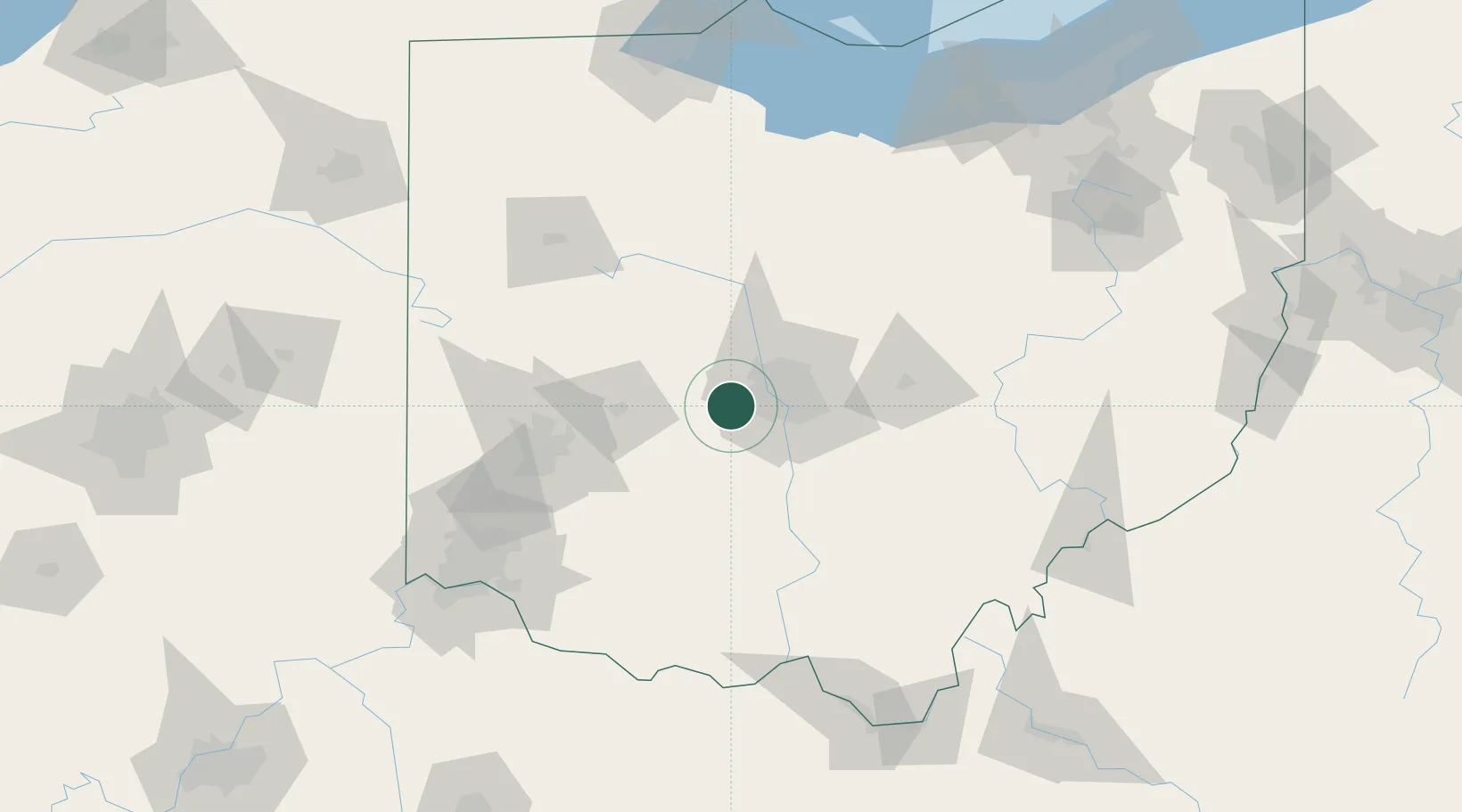
West Jefferson, Madison
39.9500°, -83.2667°
2
Transport functions
Transport Functions
Road
Multimodal
Hub Profile
Region
OH
Location
Nearby Logistics Neighbours
Cities
- 1Urbancrest17 km
- 2Plain City17 km
- 3Mount Sterling26 km
- 4Powell28 km
- 5Rickenbacker International Apt33 km
Ports
- 1Huron172 km
- 2Sandusky173 km
- 3Port Clinton177 km
- 4Vermilion182 km
- 5Lorain192 km
Airports
Trade Zones
- 1FTZ No. 138 Franklin County32 km
- 2FTZ No. 054 Clinton County73 km
- 3FTZ No. 100 Dayton89 km
- 4FTZ No. 151 Findlay127 km
- 5FTZ No. 046 CIncinnati143 km
DatabookThe Record of Consolidated Knowledge
United States beyond logistics?