Transport Functions
Port
Rail
Road
Multimodal
Hub Profile
Place type
Populated place
Region
Ohio
Population
2,534
Time zone
America/New_York
Elevation
320 m
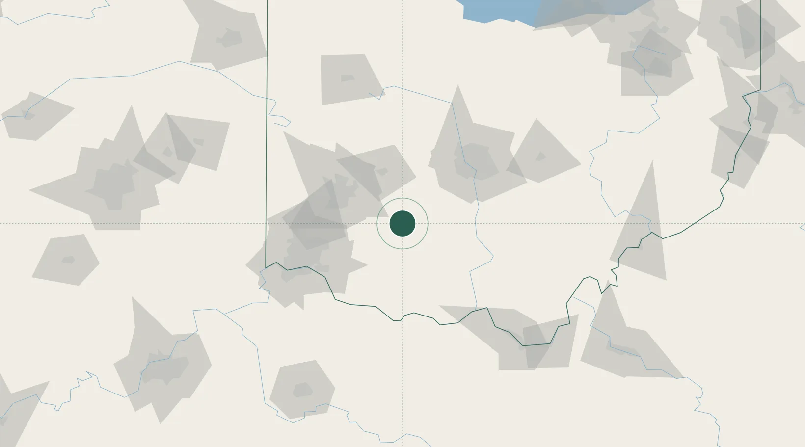
Location
Nearby Logistics Neighbours
Cities
- 1South Solon28 km
- 2Hillsboro, Ohio32 km
- 3South Charleston37 km
- 4Waynesville39 km
- 5Bellbrook41 km
Ports
- 1Huron232 km
- 2Sandusky232 km
- 3Port Clinton234 km
- 4Vermilion242 km
- 5Toledo247 km
Airports
Trade Zones
- 1FTZ No. 054 Clinton County15 km
- 2FTZ No. 100 Dayton66 km
- 3FTZ No. 138 Franklin County70 km
- 4FTZ No. 046 CIncinnati87 km
- 5FTZ No. 047 Boone County123 km
DatabookThe Record of Consolidated Knowledge
United States beyond logistics?