UN/LOCODE hub · United States
USTLV
Central Valley
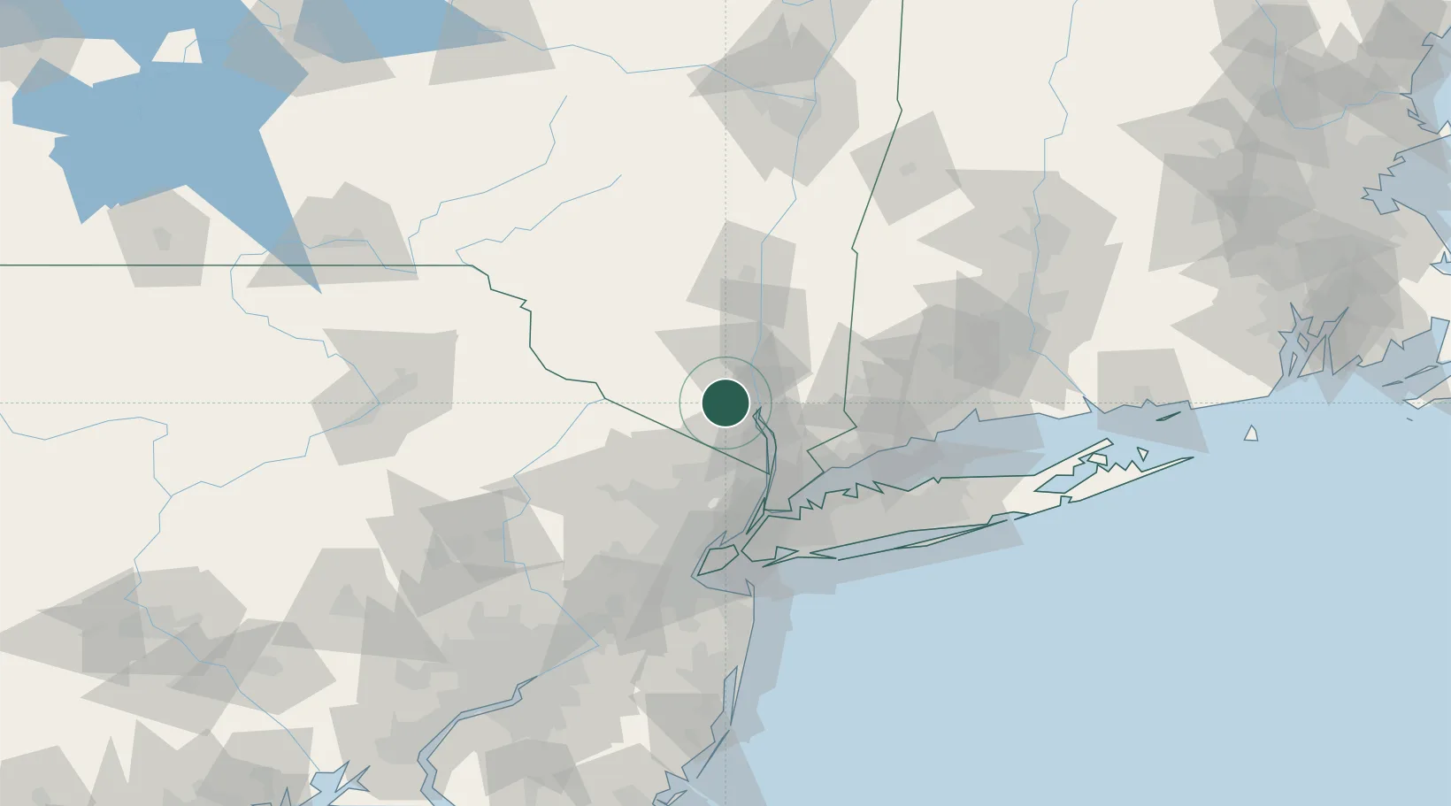
41.3333°, -74.1167°
1,810
Population
2
Transport functions
Transport Functions
Rail
Road
Hub Profile
Place type
Populated place
Region
New York
Population
1,810
Time zone
America/New_York
Elevation
159 m
Location
Nearby Logistics Neighbours
Cities
- 1Woodbury2 km
- 2Salisbury Mills11 km
- 3Fort Montgomery11 km
- 4Highland Falls13 km
- 5Sugar Loaf14 km
Ports
- 1Newburgh21 km
- 2Poughkeepsie43 km
- 3Yonkers48 km
- 4Port Chester53 km
- 5Greenwich55 km
Airports
Trade Zones
DatabookThe Record of Consolidated Knowledge
United States beyond logistics?