UN/LOCODE hub · United States
USYKL
Hoyt Lakes
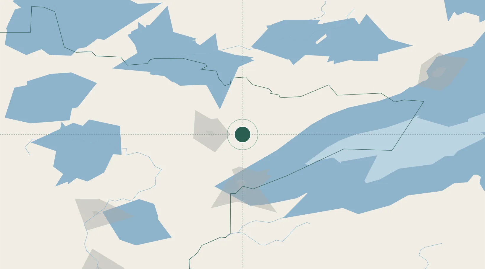
47.5167°, -92.1167°
2,004
Population
4
Transport functions
Transport Functions
Port
Rail
Road
Postal
Hub Profile
Place type
Populated place
Region
Minnesota
Population
2,004
Time zone
America/Chicago
Elevation
449 m
Location
Nearby Logistics Neighbours
Cities
- 1Aurora9 km
- 2Virginia33 km
- 3Mountain Iron38 km
- 4Cook56 km
- 5Duluth85 km
Ports
- 1Two Harbors66 km
- 2Duluth83 km
- 3Superior87 km
- 4Bayfield127 km
- 5La Pointe130 km
Airports
- 1Ely Municipal Airport40 km
- 2Range Regional Airport56 km
- 3Duluth International Airport75 km
- 4Atikokan Municipal Airport144 km
- 5Falls International Airport151 km
Trade Zones
- 1FTZ No. 051 Duluth84 km
- 2FTZ No. 259 Koochiching County185 km
- 3FTZ No. 119 Minneapolis-St. Paul296 km
- 4FTZ No. 267 Fargo374 km
- 5FTZ No. 103 Grand Forks381 km
DatabookThe Record of Consolidated Knowledge
United States beyond logistics?