Medium airport · United States
Falls International AirportKINL
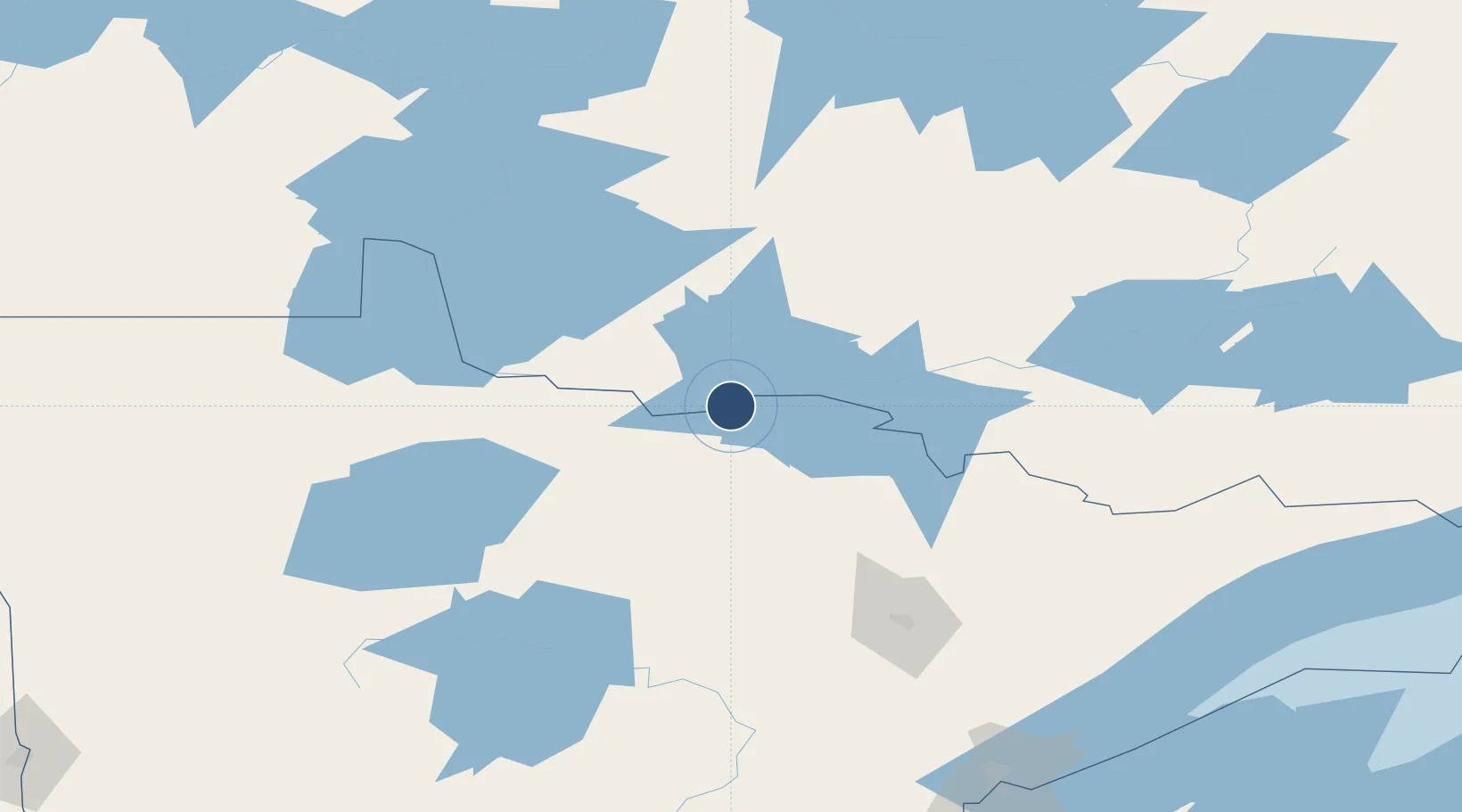
48.5662°, -93.4031°
7,400 ft
Longest runway
2
Runways
1,185 ft
Elevation
Runway & Layout

Radio Frequencies
ASOS
120 MHz
CNTR
120.9 MHz
MINNEAPOLIS CNTR
RDO
123.6 MHz
PRINCETON RDO
UNIC
122.8 MHz
CTAF/UNICOM
Navaids
IN NDB Raize 353 kHz
INL VORTAC International Falls 111.00 MHz
Runways · 2
| Runway | Dimensions | Surface | True heading | Lit |
|---|---|---|---|---|
| 13/31 | 7,400 × 150ft | Asphalt | 136° | ✓ |
| 04/22 | 2,999 × 75ft | Asphalt | 042° | — |
Airport Specifications
IATA code
INL
ICAO code
KINL
Airport class
Medium airport
Scheduled service
Yes
Runway surface
Asphalt
Served city
International Falls
Location
Nearby Logistics Neighbours
Airports
- 1Fort Frances Municipal Airport10 km
- 2Baudette International Airport91 km
- 3Atikokan Municipal Airport132 km
- 4Range Regional Airport138 km
- 5Ely Municipal Airport143 km
Cities
- 1Fort Frances4 km
- 2Emo32 km
- 3Cook96 km
- 4Williams116 km
- 5Blackduck127 km
Ports
- 1Two Harbors216 km
- 2Duluth223 km
- 3Superior227 km
- 4Grand Marais245 km
- 5Bayfield276 km
Trade Zones
- 1FTZ No. 259 Koochiching County75 km
- 2FTZ No. 051 Duluth218 km
- 3FTZ No. 103 Grand Forks288 km
- 4Winnipegs Centreport Canada309 km
- 5FTZ No. 267 Fargo328 km
DatabookThe Record of Consolidated Knowledge
United States beyond logistics?