UN/LOCODE hub · United States
USDLH

Duluth

46.7561°, -92.1114°
86,110
Population
2
Transport functions

Transport Functions

Port
Airport
Duluth is also a profiled seaport →
UN/LOCODE

Hub Profile

Place type
Provincial seat
GeoNames
Region
Minnesota
GeoNames
Population
86,110
GeoNames
Time zone
America/Chicago
GeoNames
Elevation
214 m
GeoNames
Logistics facilities
3
UN/LOCODE

Location

Location of USDLH
Natural Earth 10m (public domain) · Minnesota · USDLH · 46.76, -92.11GoogleOSMYandex

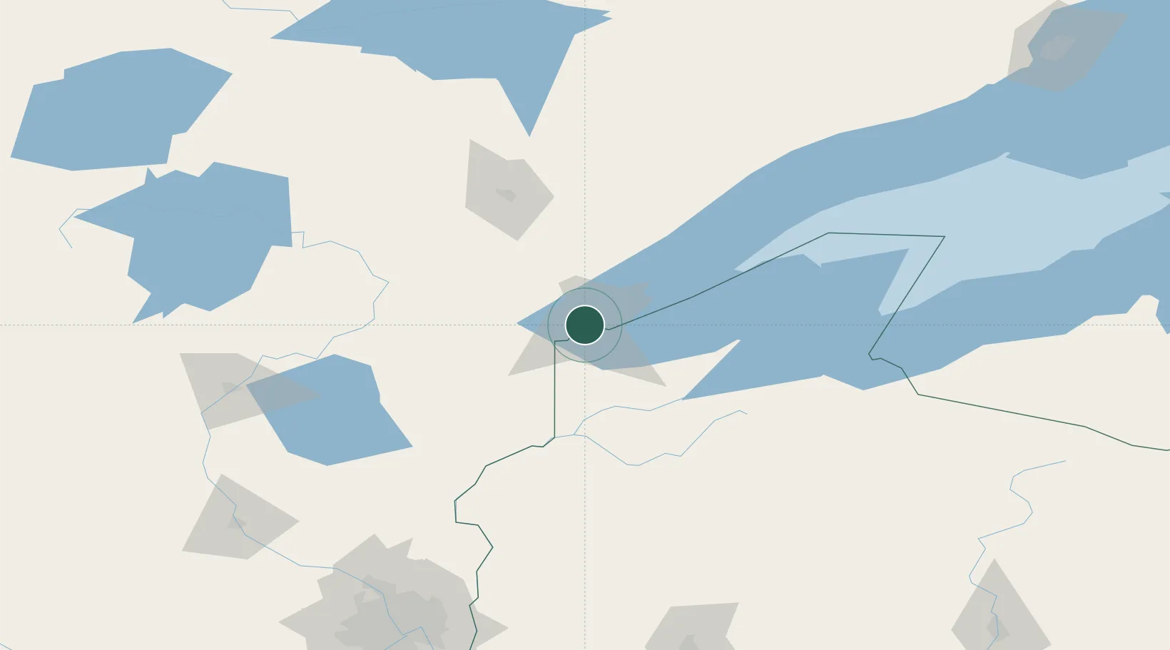
Nearby Logistics Neighbours

Cities
  1. 1Wrenshall26 km
  2. 2Carlton27 km
  3. 3Floodwood63 km
  4. 4Hoyt Lakes85 km
  5. 5Aurora85 km
Nearest neighbours — logibook spatial index (haversine) over the source coordinates
Ports
  1. 1Superior4 km
  2. 2Two Harbors46 km
  3. 3Washburn94 km
  4. 4Ashland97 km
  5. 5Bayfield99 km
Nearest neighbours — logibook spatial index (haversine) over the source coordinates
Airports
  1. 1Duluth International Airport12 km
  2. 2Range Regional Airport89 km
  3. 3Sawyer County Airport96 km
  4. 4Ely Municipal Airport121 km
  5. 5Gogebic Iron County Airport153 km
Nearest neighbours — logibook spatial index (haversine) over the source coordinates
Trade Zones
  1. 1FTZ No. 051 Duluth11 km
  2. 2FTZ No. 119 Minneapolis-St. Paul217 km
  3. 3FTZ No. 259 Koochiching County237 km
  4. 4FTZ No. 267 Fargo370 km
  5. 5FTZ No. 167 Brown County392 km
Nearest neighbours — logibook spatial index (haversine) over the source coordinates
DatabookThe Record of Consolidated Knowledge
United States beyond logistics?
Browse databook

All Sources

LocationsUN/LOCODE
UN/LOCODE — free
LocationsGeoNames
CC BY 4.0
Portsthe NGA World Port Index
Public domain (US gov)
AirportsOurAirports
Public domain
Trade Zonesthe World Bank SEZ database
CC BY 4.0
Trade ZonesOpen Zone Map
CC BY
← United States locations