UN/LOCODE hub · United States
USUII
Mountain Iron
47.5333°, -92.6167°
2,880
Population
2
Transport functions
Transport Functions
Rail
Road
Hub Profile
Place type
Populated place
Region
Minnesota
Population
2,880
Time zone
America/Chicago
Elevation
452 m
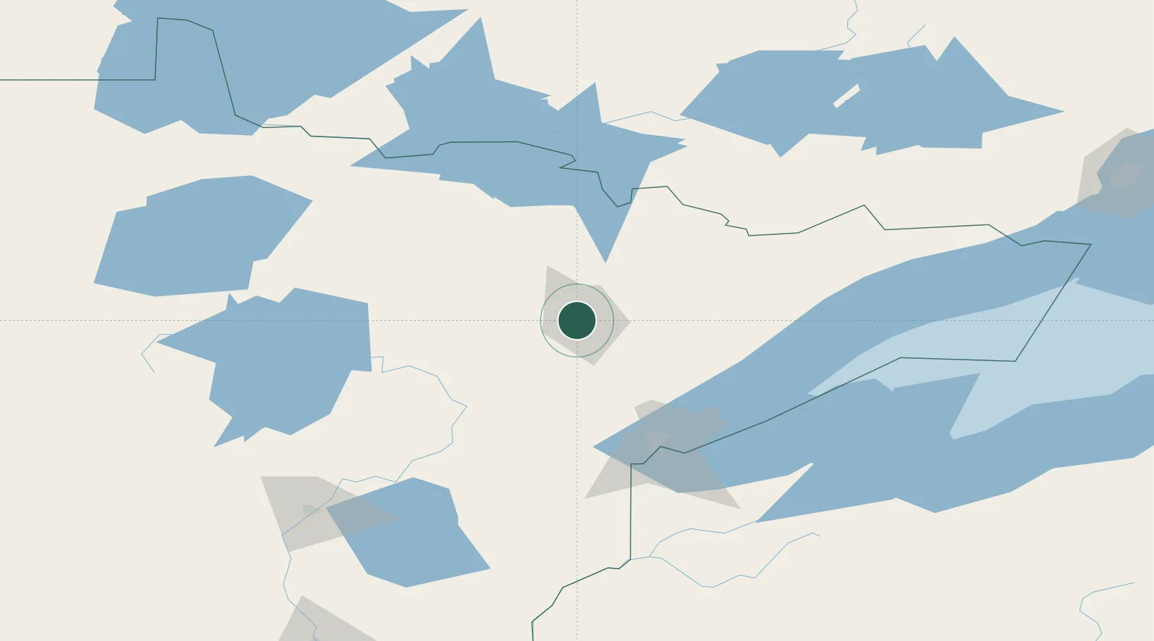
Location
Nearby Logistics Neighbours
Cities
- 1Virginia5 km
- 2Aurora29 km
- 3Cook36 km
- 4Hoyt Lakes38 km
- 5Floodwood70 km
Ports
- 1Two Harbors93 km
- 2Duluth94 km
- 3Superior98 km
- 4Bayfield159 km
- 5La Pointe162 km
Airports
- 1Range Regional Airport23 km
- 2Ely Municipal Airport67 km
- 3Duluth International Airport83 km
- 4Falls International Airport129 km
- 5Fort Frances Municipal Airport139 km
Trade Zones
- 1FTZ No. 051 Duluth90 km
- 2FTZ No. 259 Koochiching County151 km
- 3FTZ No. 119 Minneapolis-St. Paul289 km
- 4FTZ No. 267 Fargo337 km
- 5FTZ No. 103 Grand Forks343 km
DatabookThe Record of Consolidated Knowledge
United States beyond logistics?