Medium airport · United States
Duluth International AirportKDLH
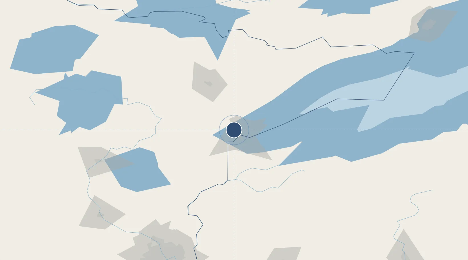
46.8419°, -92.1987°
10,591 ft
Longest runway
2
Runways
1,428 ft
Elevation
Runway & Layout

Radio Frequencies
ATIS
124.1 MHz
TWR
118.3 MHz
GND
121.9 MHz
A/D
125.45 MHz
APP/DEP
POST
28.89 MHz
ANG COMD POST
PTD
28.89 MHz
RDO
122.35 MHz
PRINCETON RDO
UNIC
122.95 MHz
UNICOM
Navaids
DL NDB Pykla 379 kHz
DLH VORTAC Duluth 112.60 MHz
LKI TACAN Lakeside 135.40 MHz
Runways · 2
| Runway | Dimensions | Surface | True heading | Lit |
|---|---|---|---|---|
| 09/27 | 10,591 × 150ft | Concrete | 092° | ✓ |
| 03/21 | 5,719 × 150ft | Asphalt | 032° | ✓ |
Airport Specifications
IATA code
DLH
ICAO code
KDLH
Airport class
Medium airport
Scheduled service
Yes
Runway surface
Concrete
Served city
Duluth
Location
Nearby Logistics Neighbours
Airports
- 1Range Regional Airport77 km
- 2Sawyer County Airport108 km
- 3Ely Municipal Airport113 km
- 4Brainerd Lakes Regional Airport155 km
- 5Gogebic Iron County Airport162 km
Ports
- 1Duluth11 km
- 2Superior16 km
- 3Two Harbors46 km
- 4Washburn102 km
- 5Ashland105 km
Trade Zones
- 1FTZ No. 051 Duluth9 km
- 2FTZ No. 119 Minneapolis-St. Paul223 km
- 3FTZ No. 259 Koochiching County225 km
- 4FTZ No. 267 Fargo363 km
- 5FTZ No. 103 Grand Forks393 km
DatabookThe Record of Consolidated Knowledge
United States beyond logistics?