UN/LOCODE hub · United States
USQQY

Aurora

47.5167°, -92.2333°
1,666
Population
2
Transport functions

Transport Functions

Road
Multimodal
UN/LOCODE

Hub Profile

Place type
Populated place
GeoNames
Region
Minnesota
GeoNames
Population
1,666
GeoNames
Time zone
America/Chicago
GeoNames
Elevation
448 m
GeoNames

Location

Location of USQQY
Natural Earth 10m (public domain) · Minnesota · USQQY · 47.52, -92.23GoogleOSMYandex

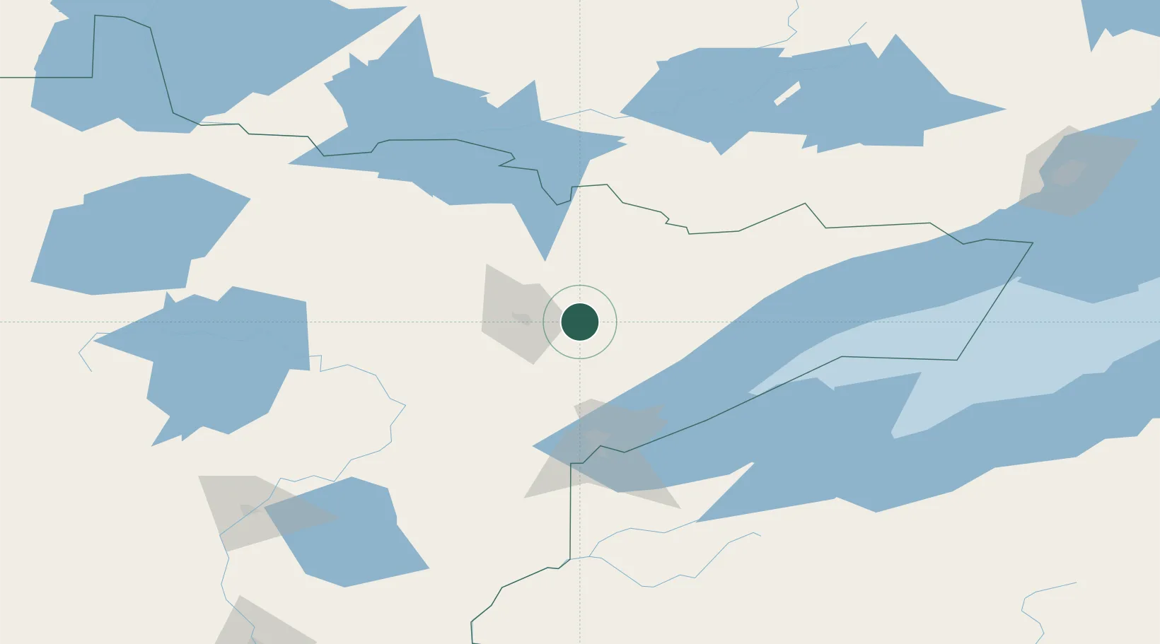
Nearby Logistics Neighbours

Cities
  1. 1Hoyt Lakes9 km
  2. 2Virginia24 km
  3. 3Mountain Iron29 km
  4. 4Cook50 km
  5. 5Floodwood82 km
Nearest neighbours — logibook spatial index (haversine) over the source coordinates
Ports
  1. 1Two Harbors71 km
  2. 2Duluth84 km
  3. 3Superior88 km
  4. 4Bayfield134 km
  5. 5La Pointe137 km
Nearest neighbours — logibook spatial index (haversine) over the source coordinates
Airports
  1. 1Ely Municipal Airport46 km
  2. 2Range Regional Airport48 km
  3. 3Duluth International Airport75 km
  4. 4Falls International Airport146 km
  5. 5Atikokan Municipal Airport147 km
Nearest neighbours — logibook spatial index (haversine) over the source coordinates
Trade Zones
  1. 1FTZ No. 051 Duluth84 km
  2. 2FTZ No. 259 Koochiching County177 km
  3. 3FTZ No. 119 Minneapolis-St. Paul294 km
  4. 4FTZ No. 267 Fargo365 km
  5. 5FTZ No. 103 Grand Forks372 km
Nearest neighbours — logibook spatial index (haversine) over the source coordinates
DatabookThe Record of Consolidated Knowledge
United States beyond logistics?
Browse databook

All Sources

LocationsUN/LOCODE
UN/LOCODE — free
LocationsGeoNames
CC BY 4.0
Portsthe NGA World Port Index
Public domain (US gov)
AirportsOurAirports
Public domain
Trade Zonesthe World Bank SEZ database
CC BY 4.0
Trade ZonesOpen Zone Map
CC BY
← United States locations