Medium airport · United States
Range Regional AirportKHIB
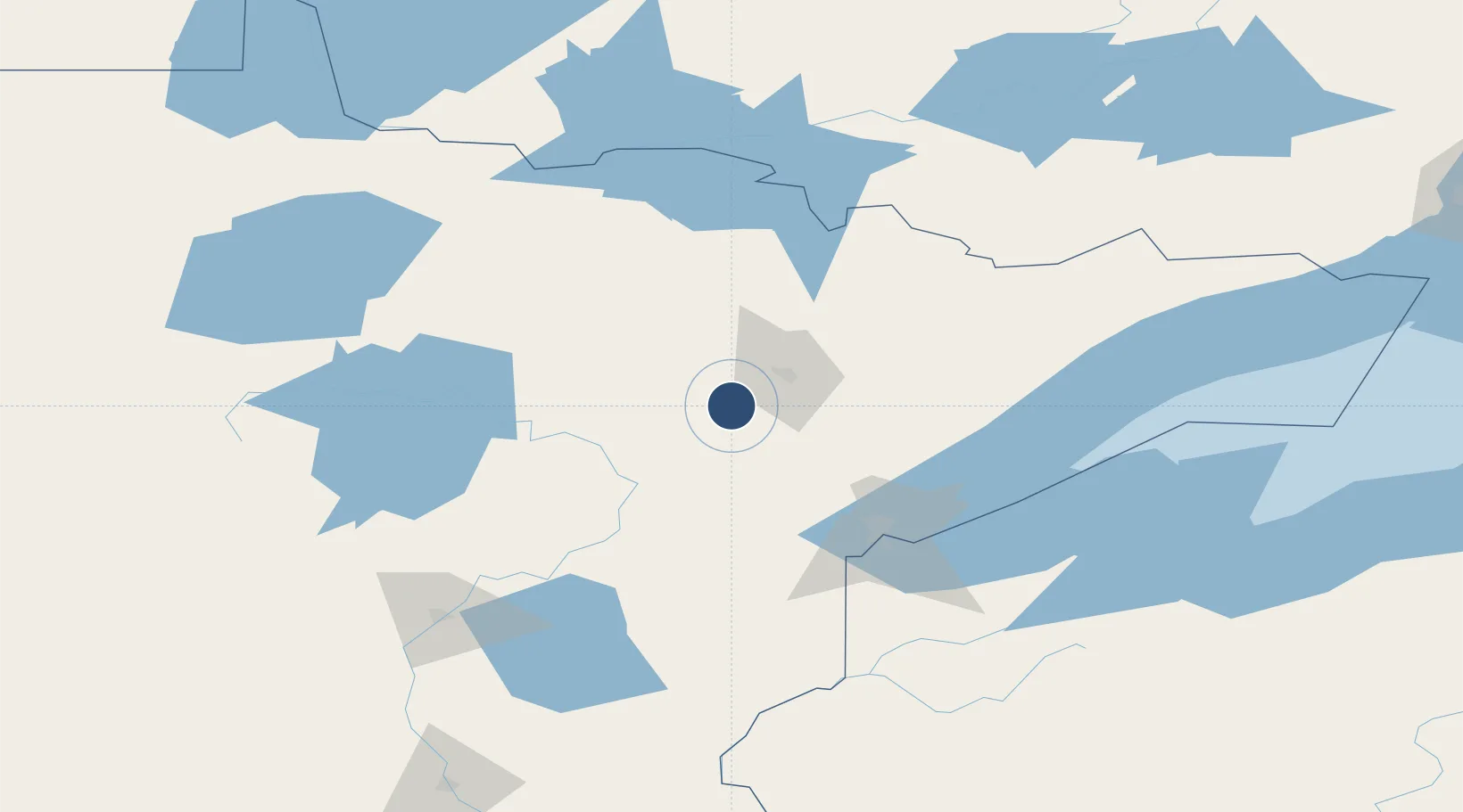
47.3848°, -92.8369°
6,758 ft
Longest runway
2
Runways
1,354 ft
Elevation
Runway & Layout

Radio Frequencies
ASOS
126.425 MHz
CLD
127.4 MHz
DULUTH CLNC DEL
A/D
125.45 MHz
DULUTH APP/DEP
RDO
122.6 MHz
PRINCETON RDO
UNIC
123 MHz
CTAF/UNICOM
Navaids
HIB VOR-DME Hibbing 110.80 MHz
Runways · 2
| Runway | Dimensions | Surface | True heading | Lit |
|---|---|---|---|---|
| 13/31 | 6,758 × 150ft | Asphalt | 132° | ✓ |
| 04/22 | 3,075 × 75ft | Asphalt | 049° | — |
Airport Specifications
IATA code
HIB
ICAO code
KHIB
Airport class
Medium airport
Scheduled service
Yes
Runway surface
Asphalt
Served city
Hibbing
Location
Nearby Logistics Neighbours
Airports
Cities
- 1Mountain Iron23 km
- 2Virginia26 km
- 3Aurora48 km
- 4Floodwood50 km
- 5Cook53 km
Ports
- 1Duluth89 km
- 2Superior93 km
- 3Two Harbors99 km
- 4Bayfield166 km
- 5Washburn168 km
Trade Zones
- 1FTZ No. 051 Duluth82 km
- 2FTZ No. 259 Koochiching County149 km
- 3FTZ No. 119 Minneapolis-St. Paul270 km
- 4FTZ No. 267 Fargo318 km
- 5FTZ No. 103 Grand Forks330 km
DatabookThe Record of Consolidated Knowledge
United States beyond logistics?