UN/LOCODE hub · United States
USVGI
Virginia
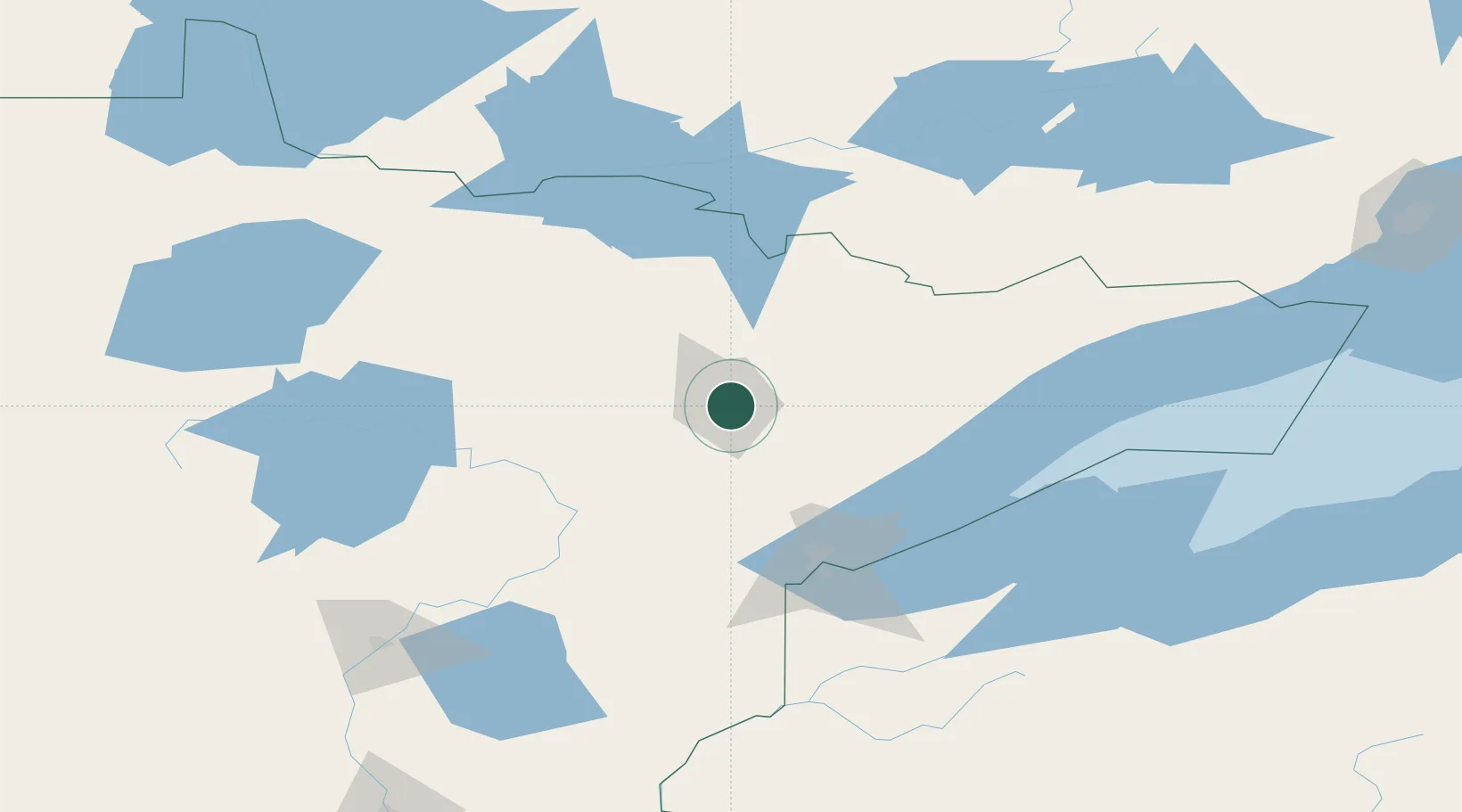
47.5167°, -92.5500°
8,587
Population
2
Transport functions
Transport Functions
Rail
Road
Hub Profile
Place type
Populated place
Region
Minnesota
Population
8,587
Time zone
America/Chicago
Elevation
439 m
Location
Nearby Logistics Neighbours
Cities
- 1Mountain Iron5 km
- 2Aurora24 km
- 3Hoyt Lakes33 km
- 4Cook38 km
- 5Floodwood70 km
Ports
- 1Two Harbors88 km
- 2Duluth90 km
- 3Superior95 km
- 4Bayfield153 km
- 5La Pointe157 km
Airports
- 1Range Regional Airport26 km
- 2Ely Municipal Airport64 km
- 3Duluth International Airport80 km
- 4Falls International Airport133 km
- 5Fort Frances Municipal Airport143 km
Trade Zones
- 1FTZ No. 051 Duluth87 km
- 2FTZ No. 259 Koochiching County157 km
- 3FTZ No. 119 Minneapolis-St. Paul288 km
- 4FTZ No. 267 Fargo342 km
- 5FTZ No. 103 Grand Forks349 km
DatabookThe Record of Consolidated Knowledge
United States beyond logistics?