Transport Functions
Rail
Road
Hub Profile
Place type
Populated place
Region
Minnesota
Population
567
Time zone
America/Chicago
Elevation
398 m
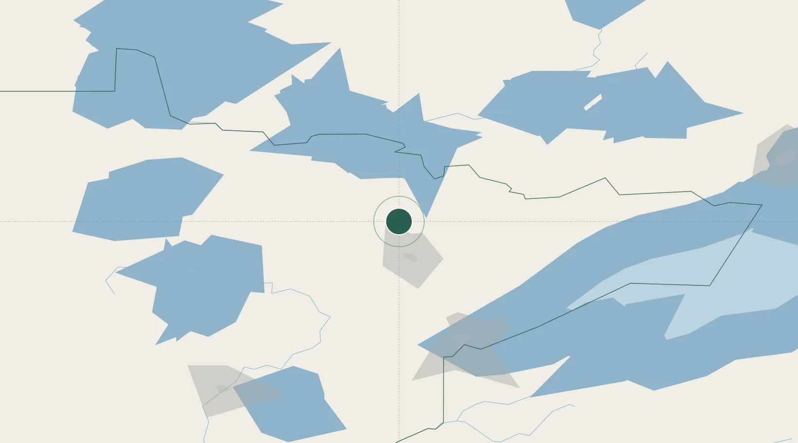
Location
Nearby Logistics Neighbours
Cities
- 1Mountain Iron36 km
- 2Virginia38 km
- 3Aurora50 km
- 4Hoyt Lakes56 km
- 5Fort Frances99 km
Ports
- 1Two Harbors121 km
- 2Duluth128 km
- 3Superior133 km
- 4Grand Marais176 km
- 5Bayfield183 km
Airports
- 1Range Regional Airport53 km
- 2Ely Municipal Airport64 km
- 3Falls International Airport96 km
- 4Fort Frances Municipal Airport106 km
- 5Duluth International Airport118 km
Trade Zones
- 1FTZ No. 051 Duluth125 km
- 2FTZ No. 259 Koochiching County130 km
- 3FTZ No. 119 Minneapolis-St. Paul323 km
- 4FTZ No. 103 Grand Forks335 km
- 5FTZ No. 267 Fargo341 km
DatabookThe Record of Consolidated Knowledge
United States beyond logistics?